12th, 13th and 14th October – making my way back to Santiago, and leaving for Europe.

It was time to head back to Santiago from where I would be flying back to Madrid on the 16th.

I chose Valdivia as my first stopping point on the route North because it looked an interesting place: https://en.wikipedia.org/wiki/Valdivia

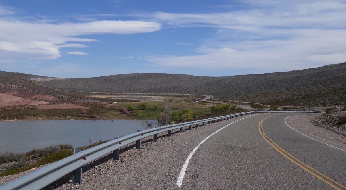
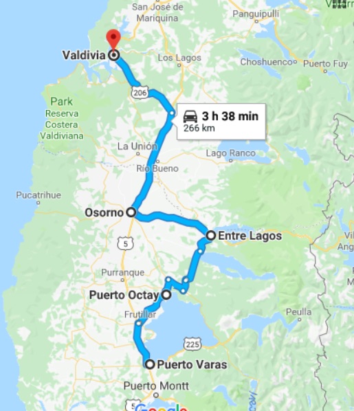
Leaving Puerto Varas I rode up the other side of Lago Llanquihue – the East side – to Puerto Octay, and then up the road I had ridden down two days previously to Entre Lagos where I picked up the 215 towards Osorno.

From Osorno i rode up Ruta 5 to Paillaco where I took the 206 which took me straight to Valdivia. Ruta 5 was noteworthy only for seeing an Artic completely on its side having hit the central barrier. The barrier had done its job well. The Artic hadn’t crossed over and had just entirely blocked of the overtaking lane.

The 206 was noteworthy only for the chap in the Pick Up truck who thought he could keep up with me. It was the usual story in that sooner or laterI will make the overtake he can’t and by the time he gets past that car/van/lorry I have made one or two more overtakes and am long gone. What is it that gets into these peoples heads?

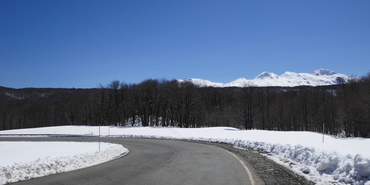
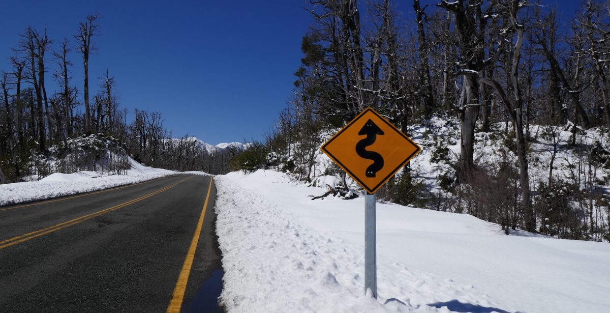
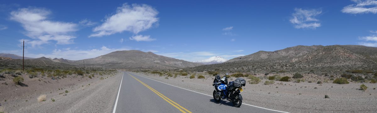
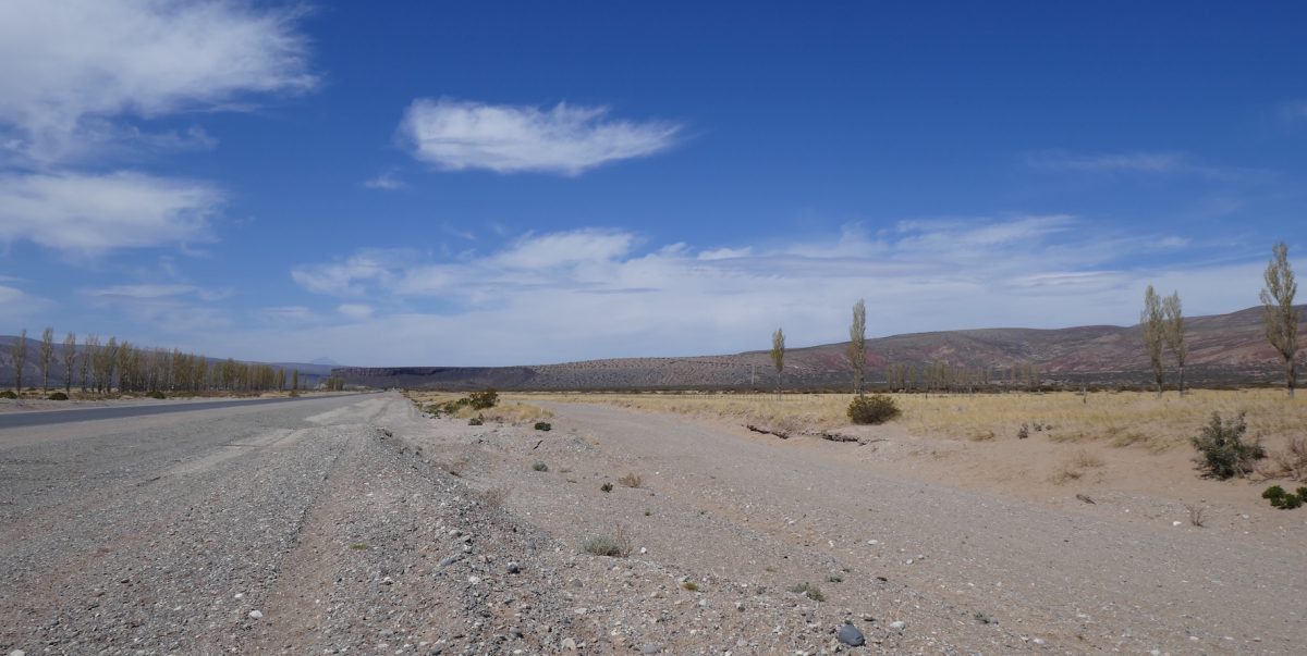
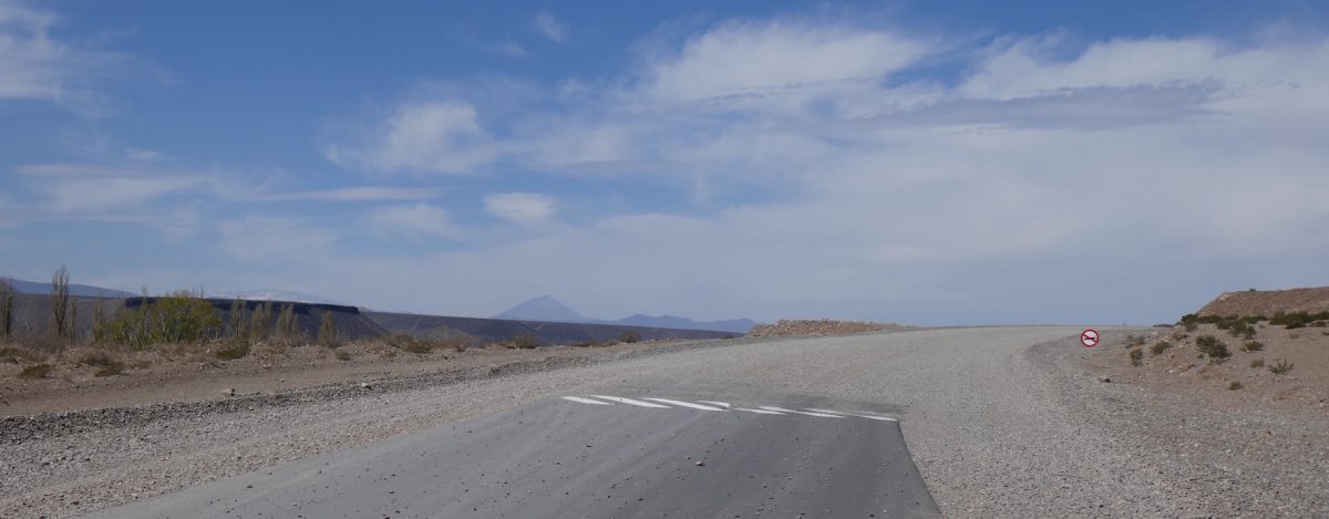
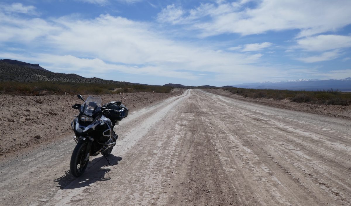
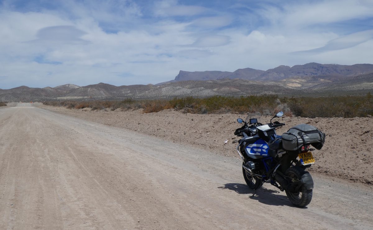
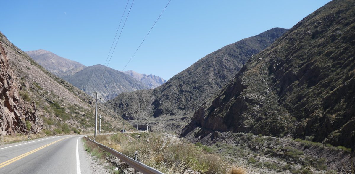
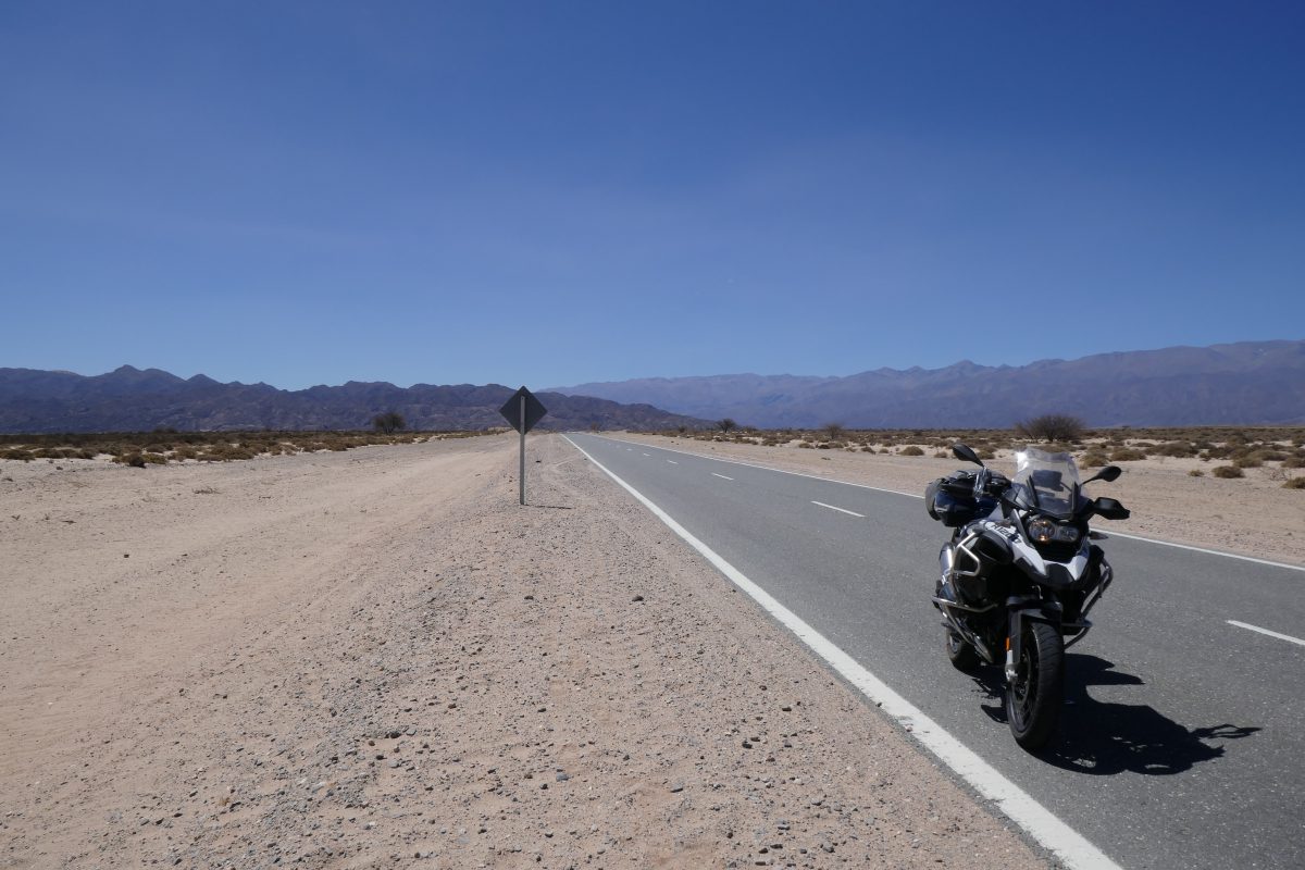
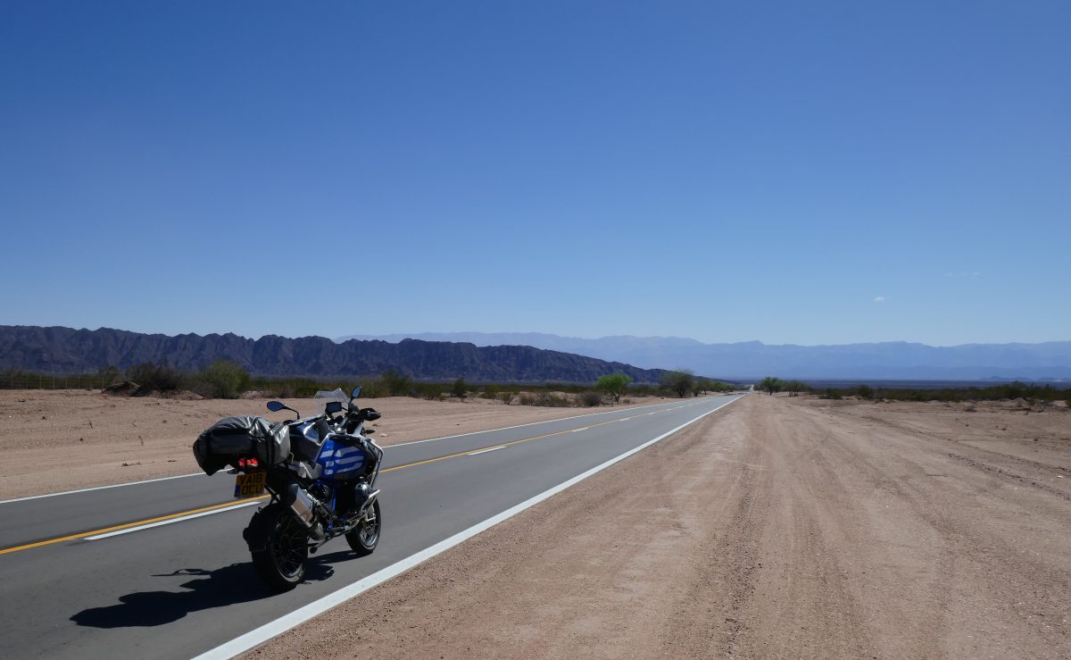
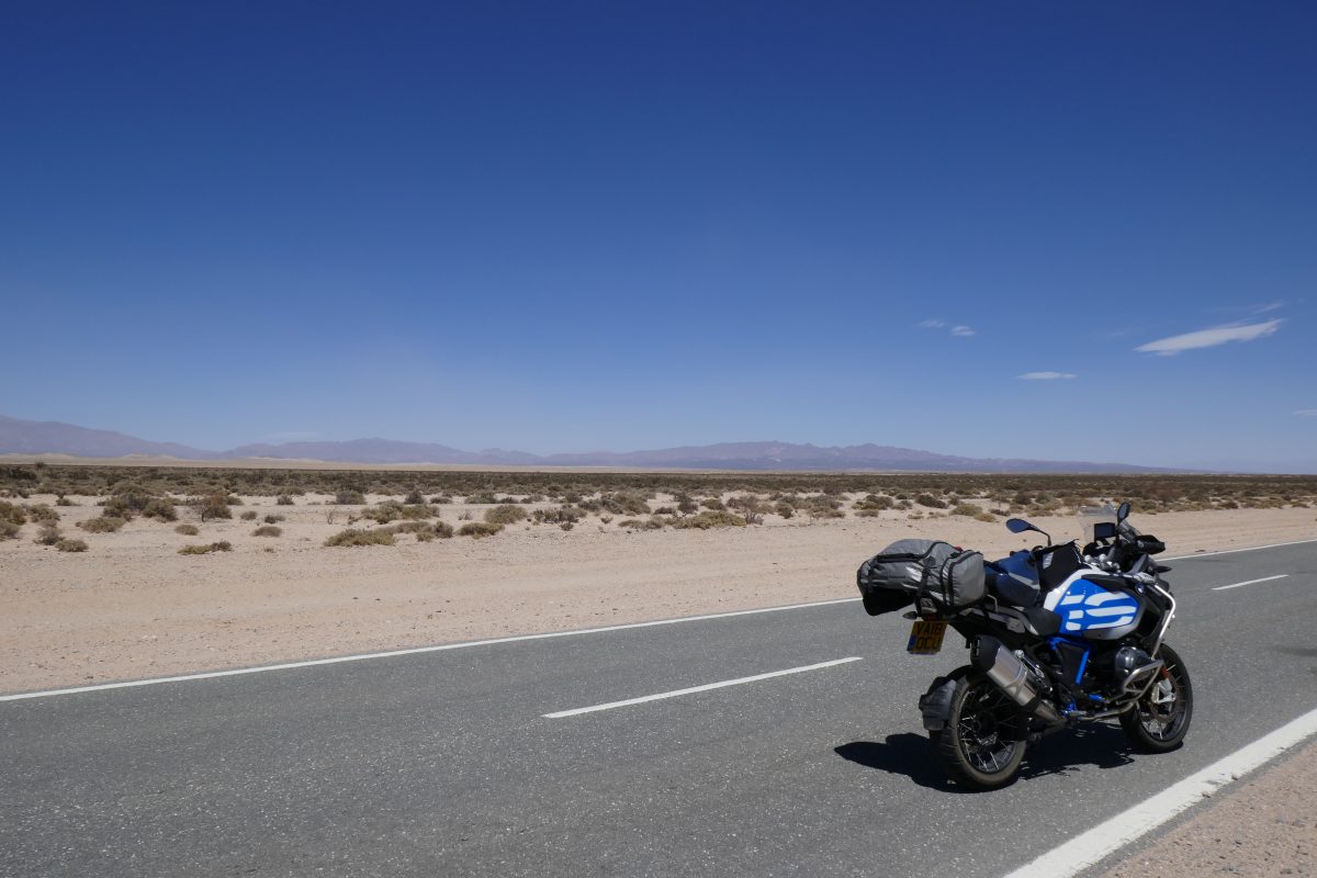
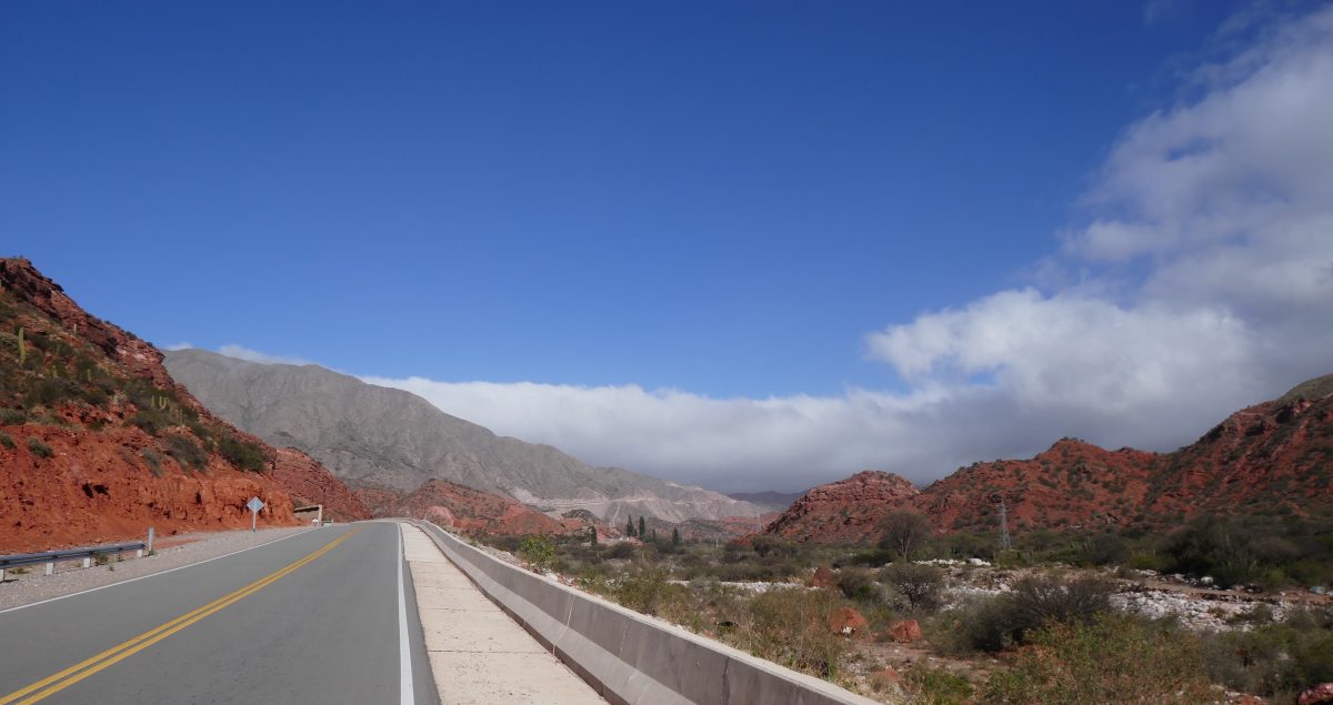
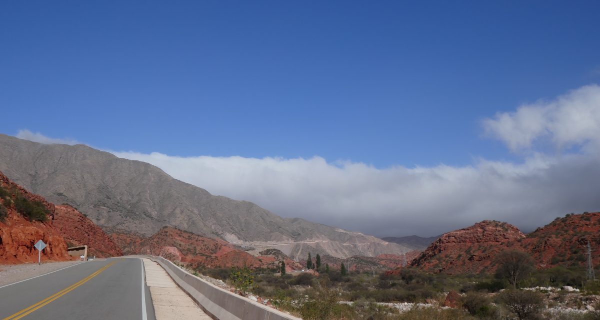
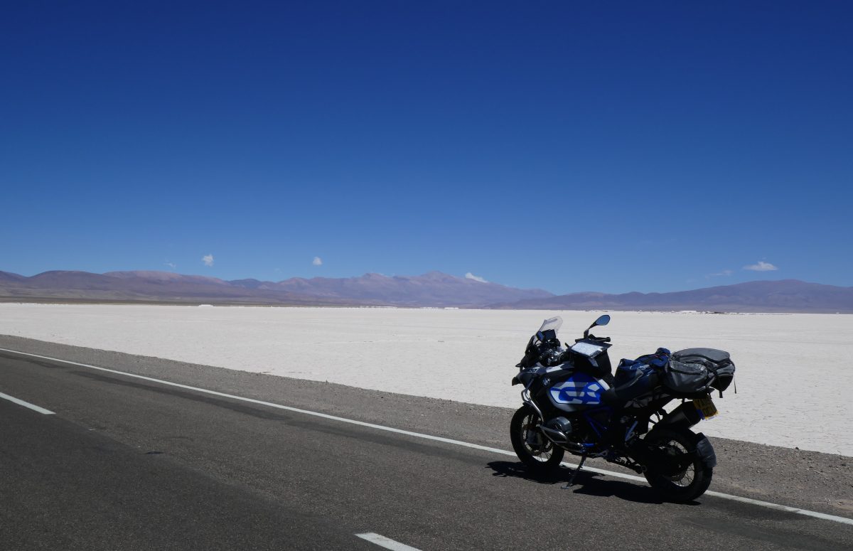
In terms of sights there was nothing new today so I set a new record of sorts – I didn’t take a single photo on the ride.

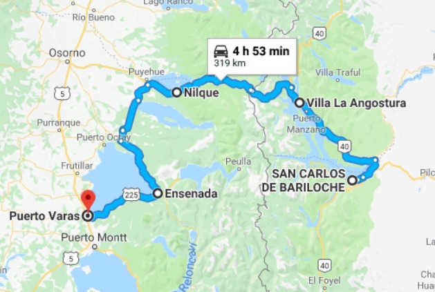
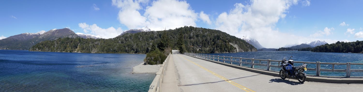
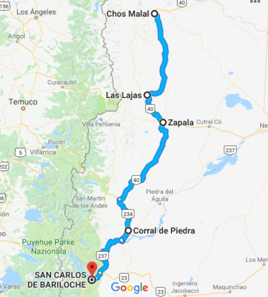
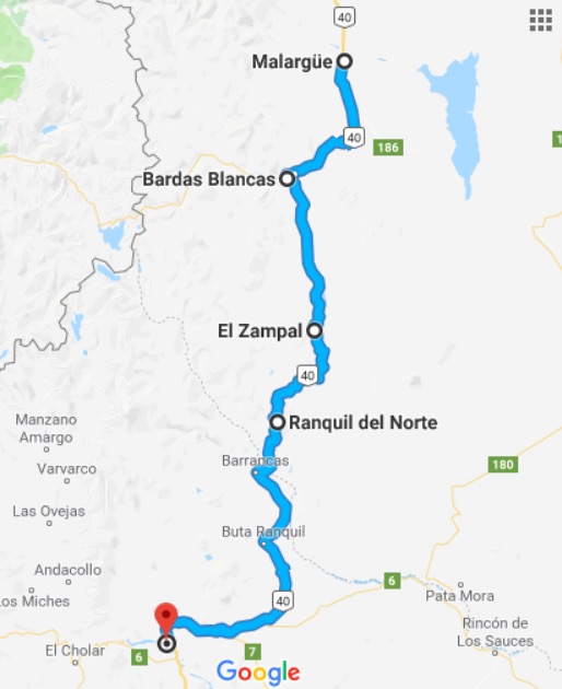
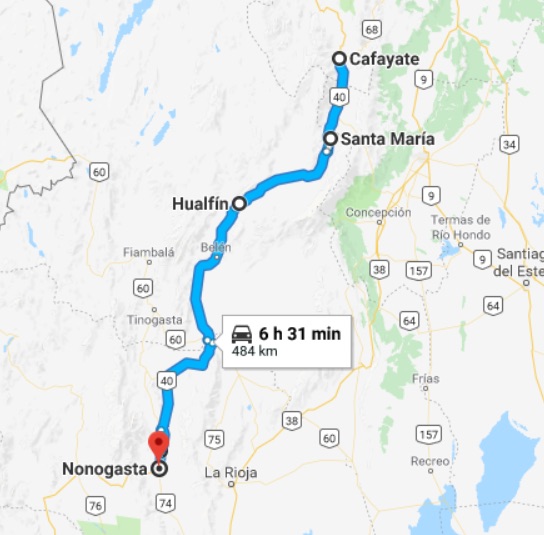
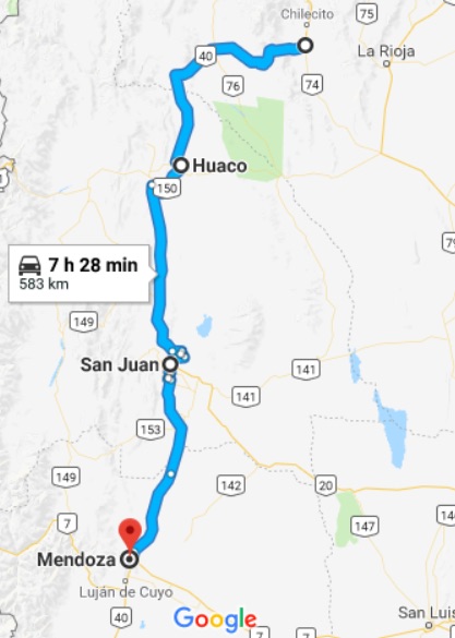
This was the day’s route:

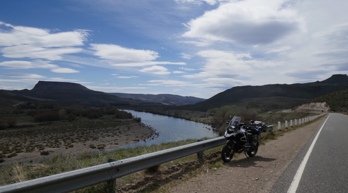
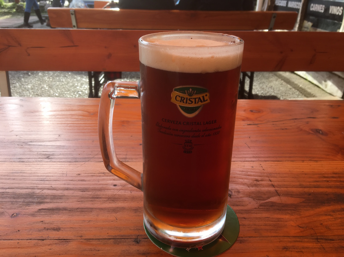
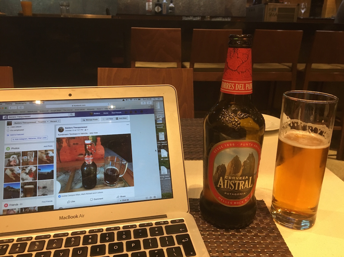
However, when I got to Valdivia which seemed a nice enough place  on a big river heading for the sea a few miles further East, I did head into town and find some beer:

Dark beer in Valvidia – very nice

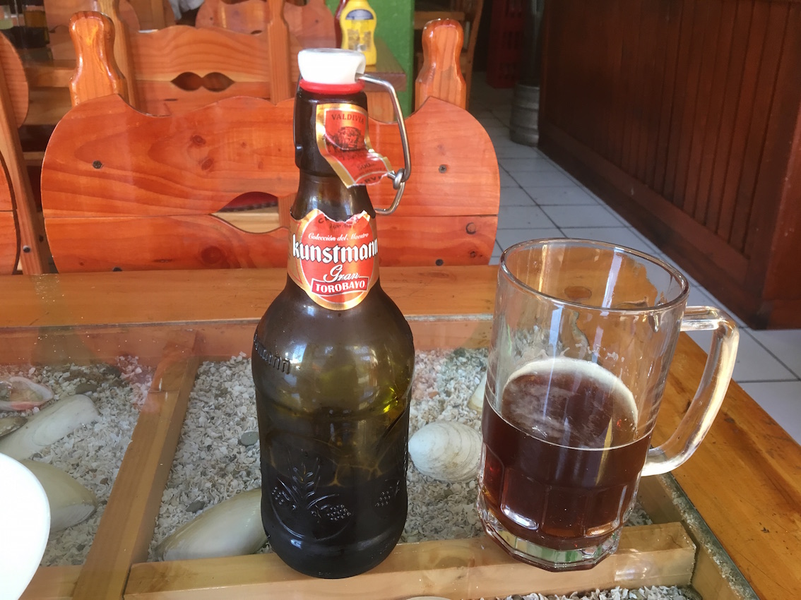
and more beer, Kunstmann this time. The brewery is in Valdivia, which was the port through which the German settlers arrived in the 1800s.

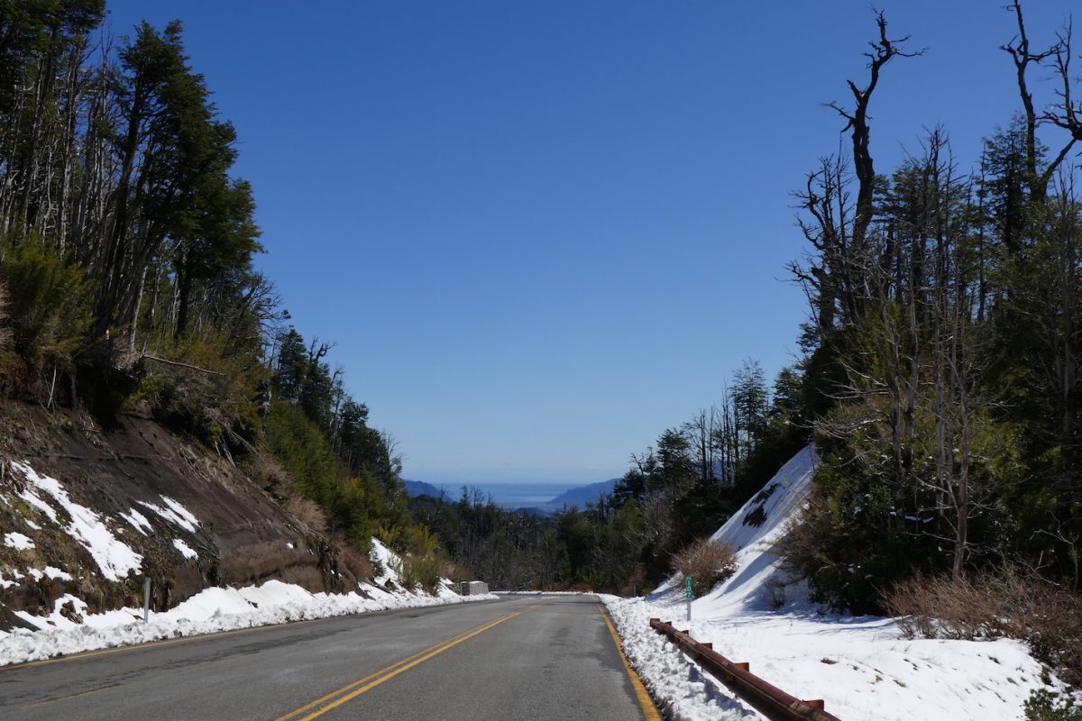
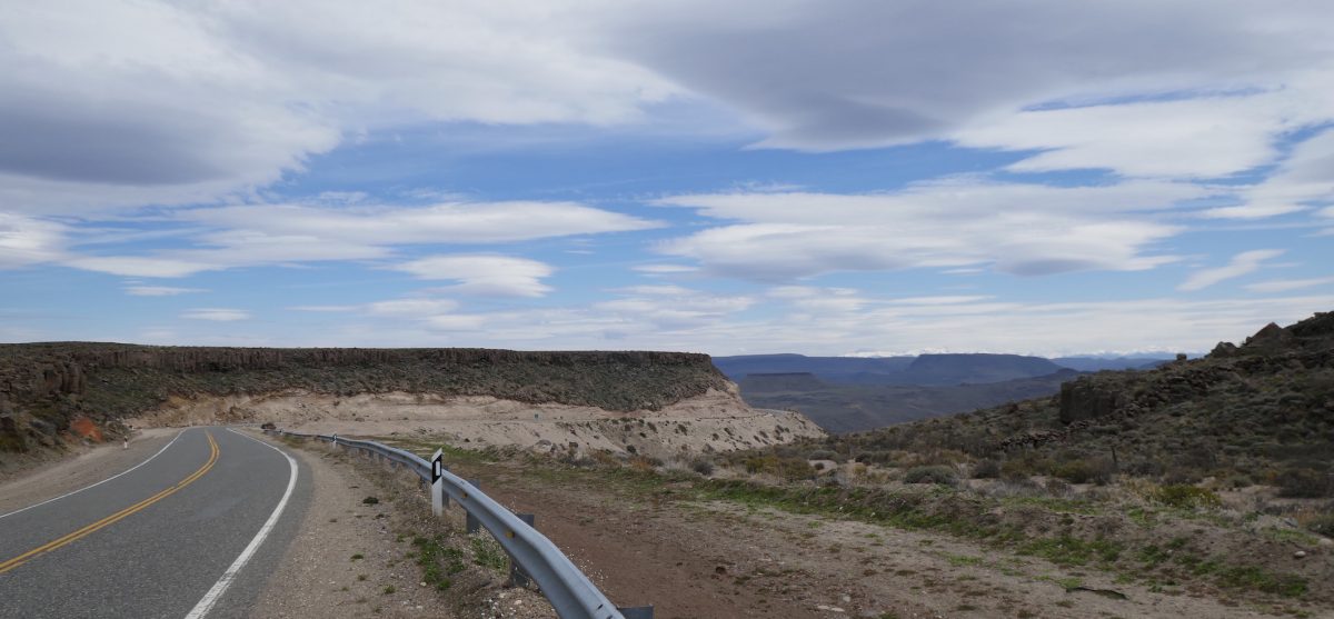
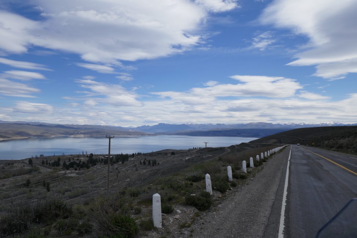
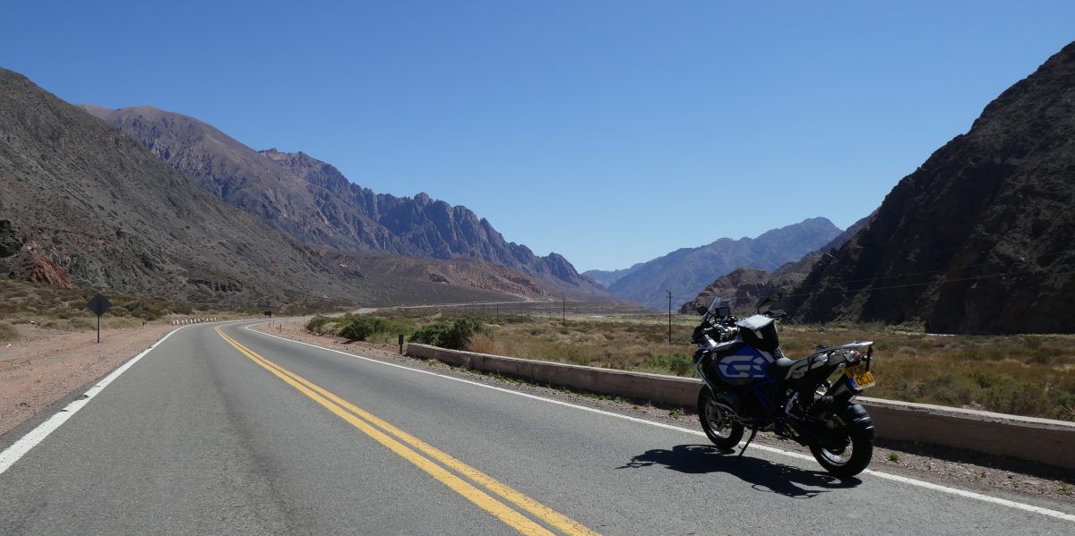
The following day  I decided that I couldn’t simply hoof it up Ruta 5. I had the time so decided to head West on the 35 to Los Lagos and then the 39 to Panguipulli, which sits on the lake of the same name.

This was a good choice of route. The road to Los Lagos – the 35 – was very nice and the 39 to Panguipulli was even nicer.

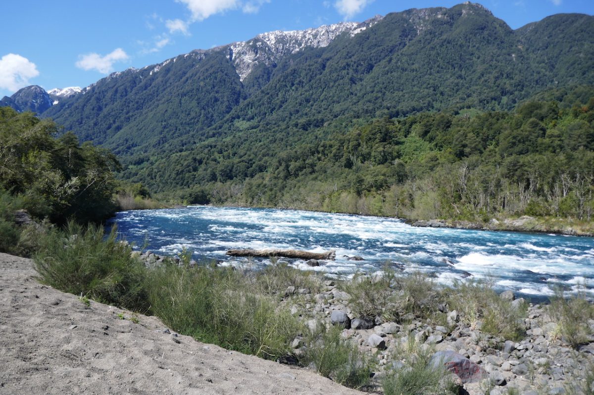
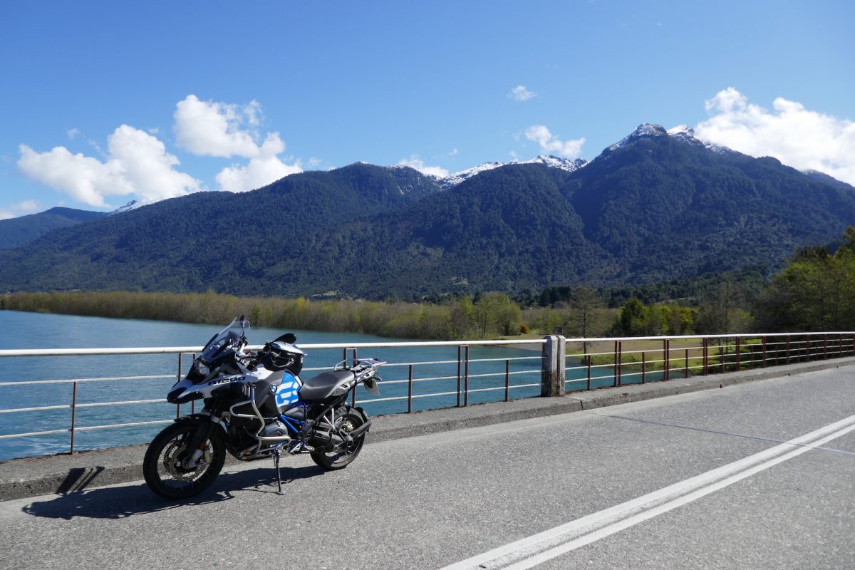
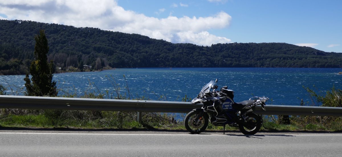
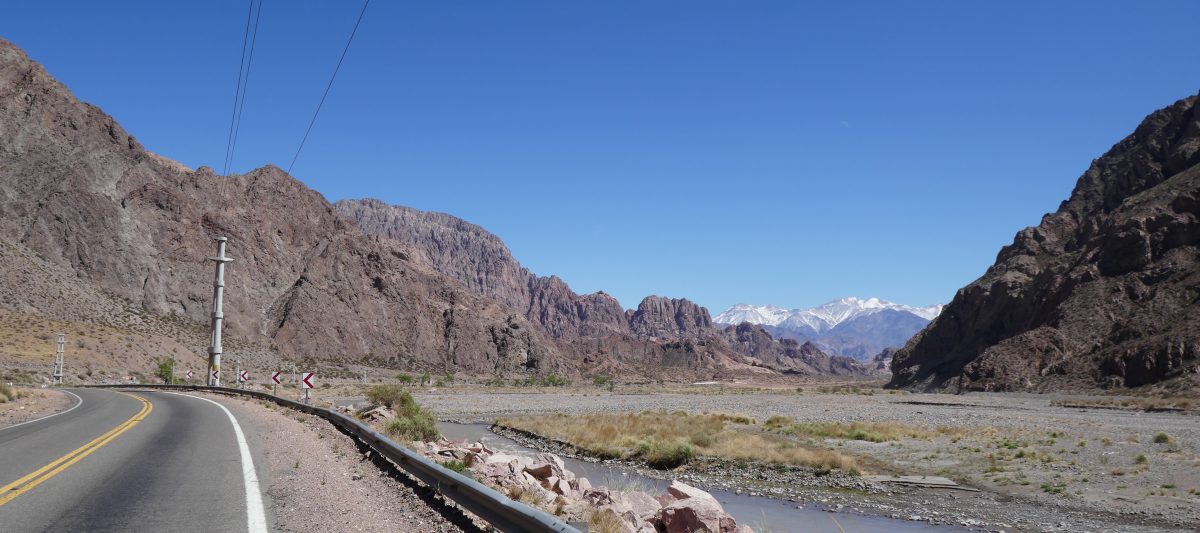
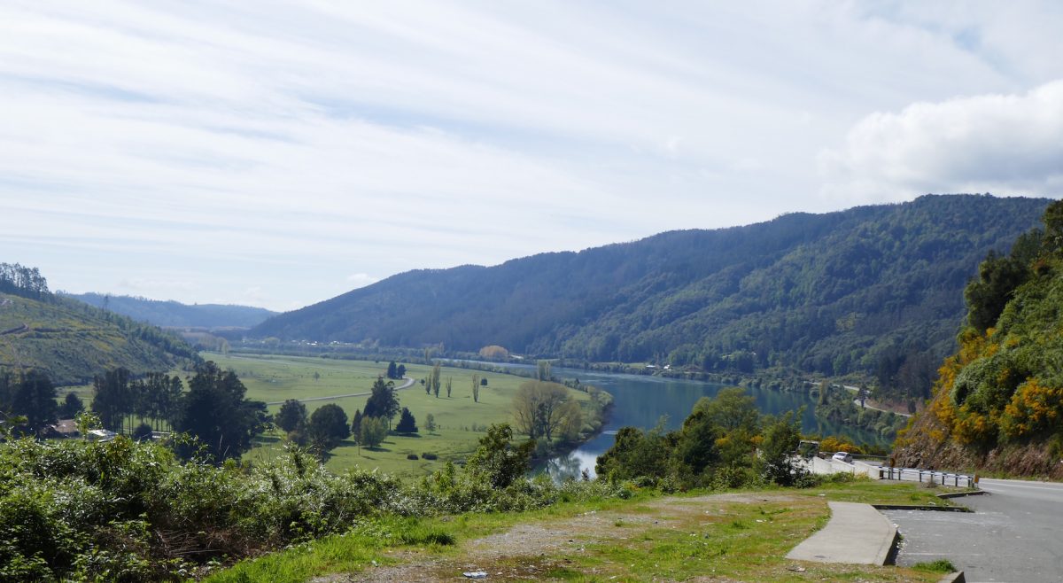
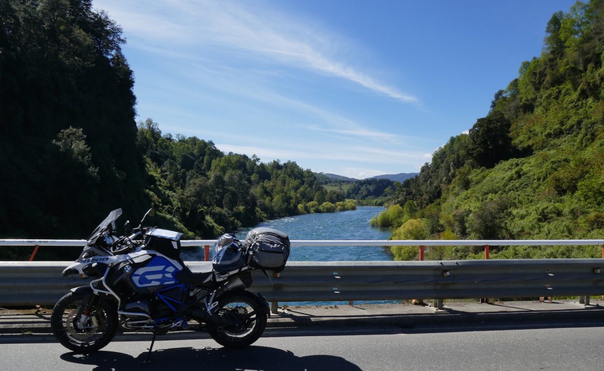
First a view not far out of Valdivia of the 35:

T35 near Colico between Valdivia and Los Lagos

The road -and the almost obligatory disused railway line – follows the river all the way to Los Lagos. The one interesting thing about the railway line, which I had noticed two days before on the ride to Puerto Montt, was that in this section of the country the gauge is the same as the UK and Europe, not the 1 metre narrow gauge I saw North of Santiago. I guess that they only used the narrow gauge where the lie of the land makes it too difficult to use the standard gauge. Anyway I digress.

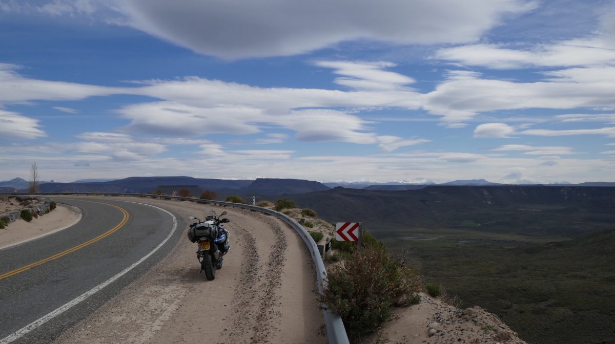
From Los Lagos the road was even better.

T39 bridge over Rio San Pedro near Malahue

and the view the other way:

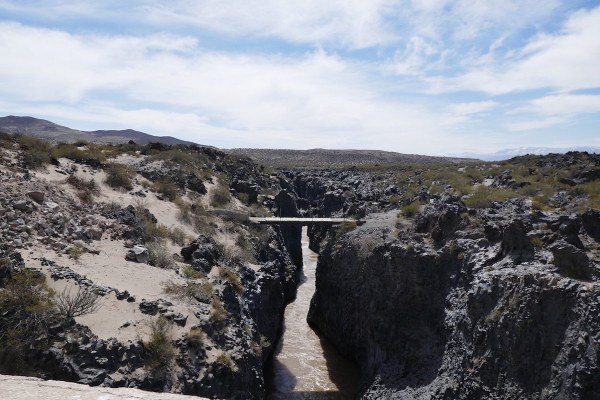
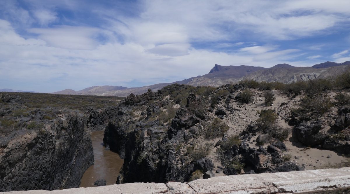
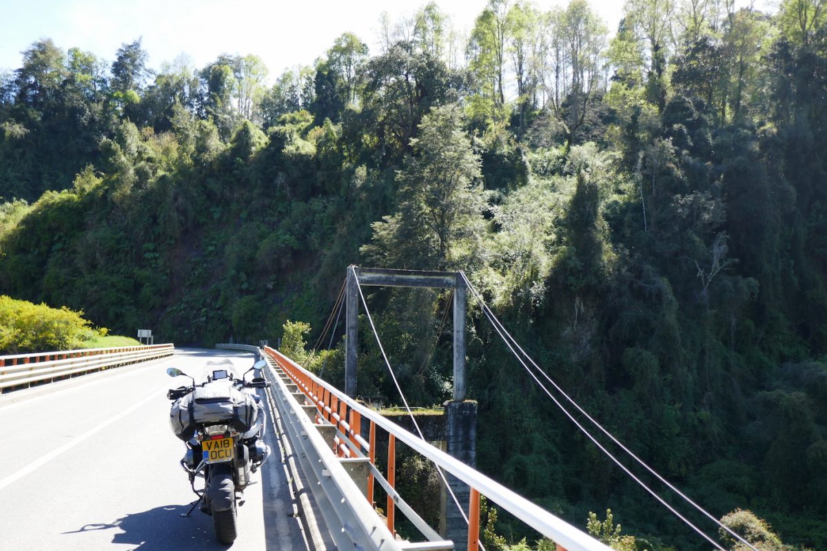
and there were the remains of the old bridge:

The old bridge over the T39 near Malihue

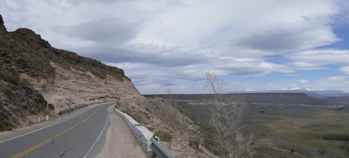
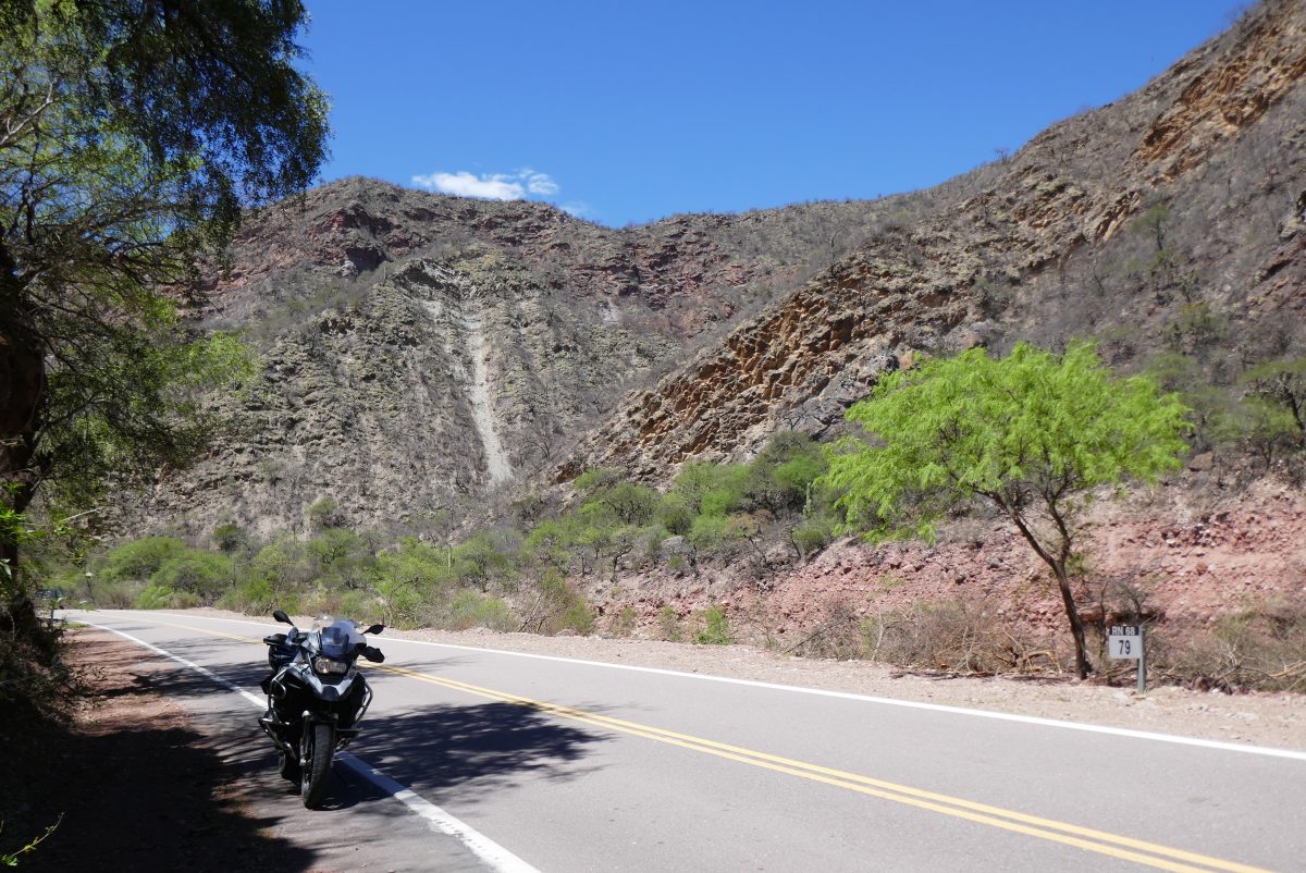
The road was similar to some of the roads through Mid Wales or maybe the Cotswolds:

T39 towards Panguipulli

The land is so green that you could forget you were in South America.

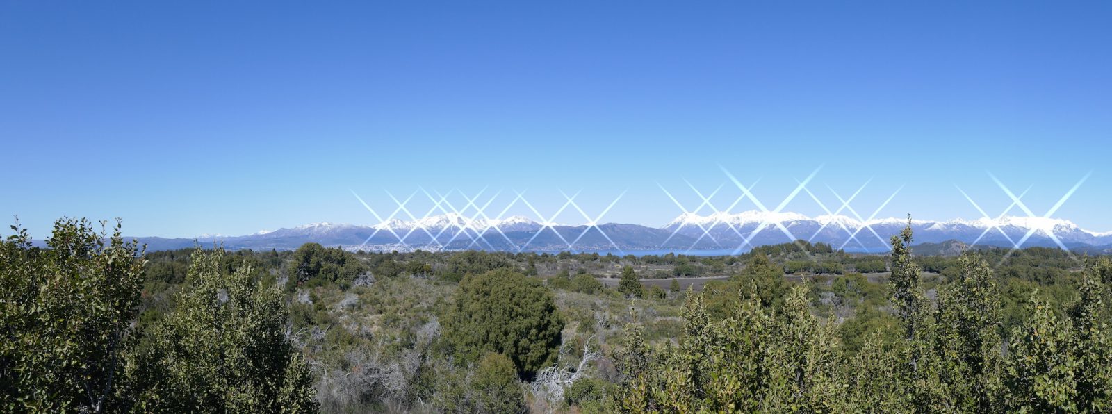
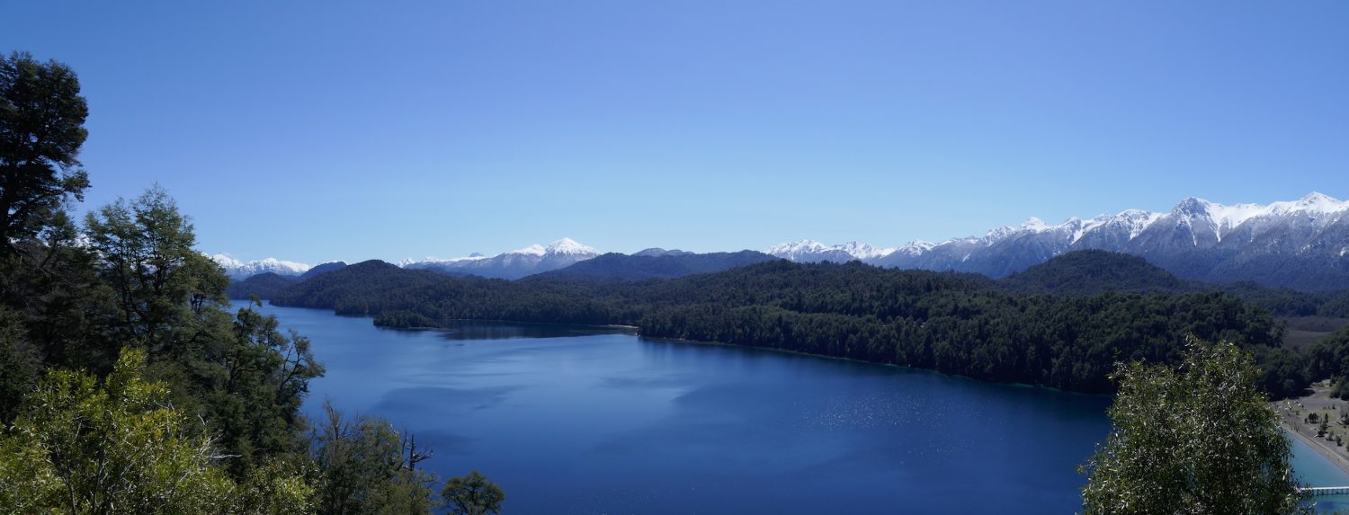
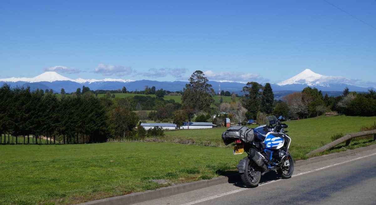
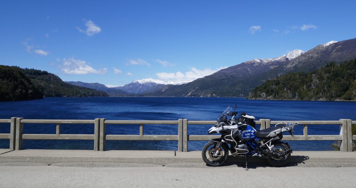
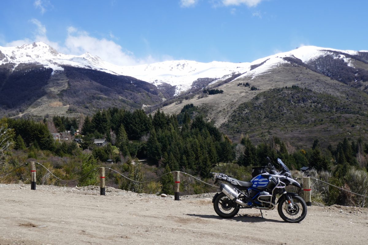
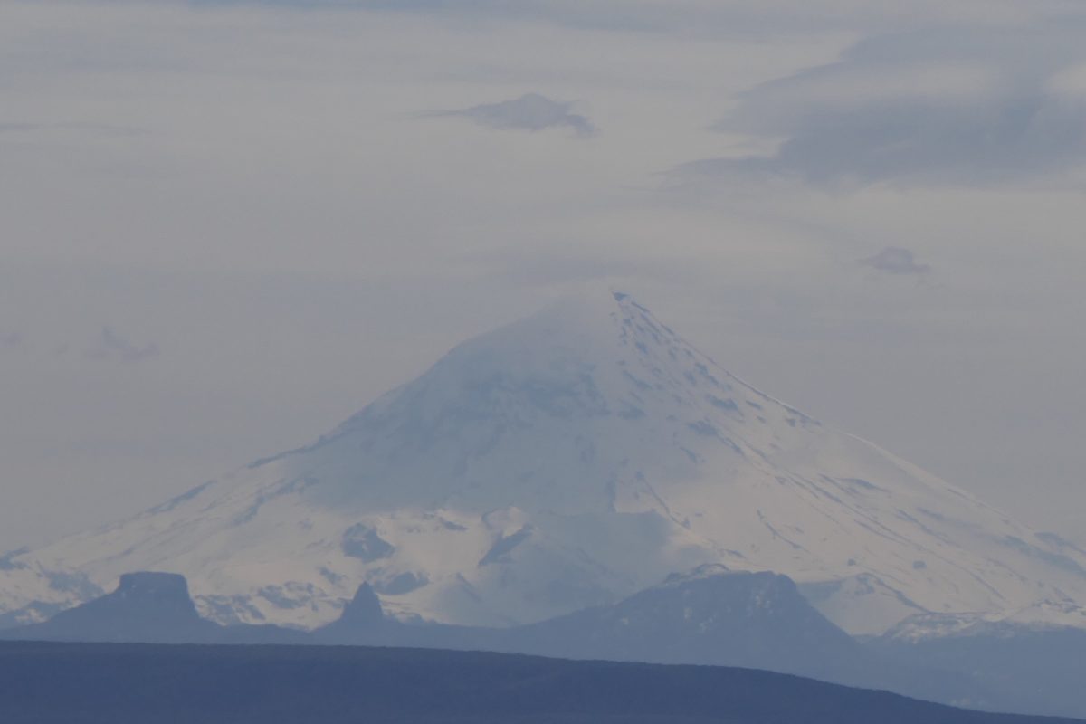
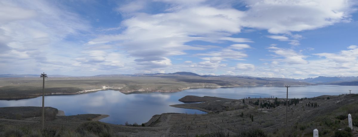
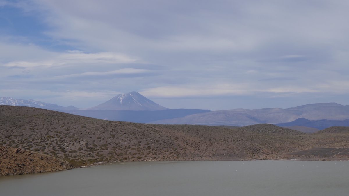
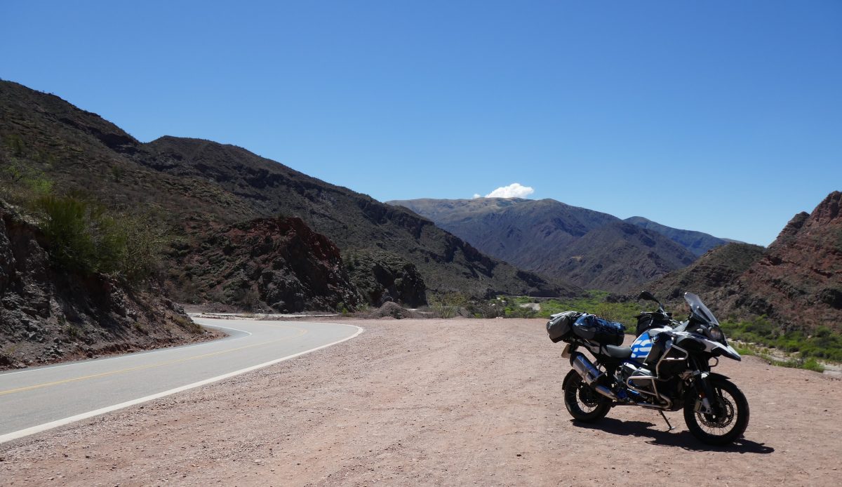
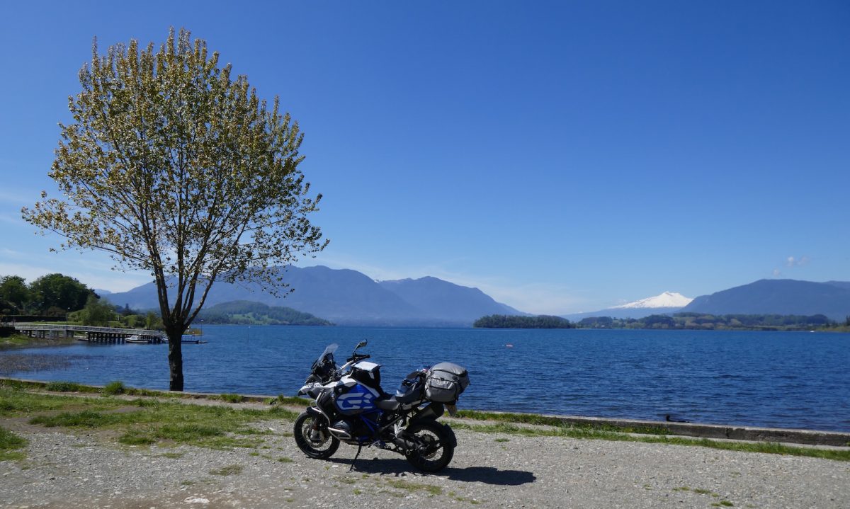
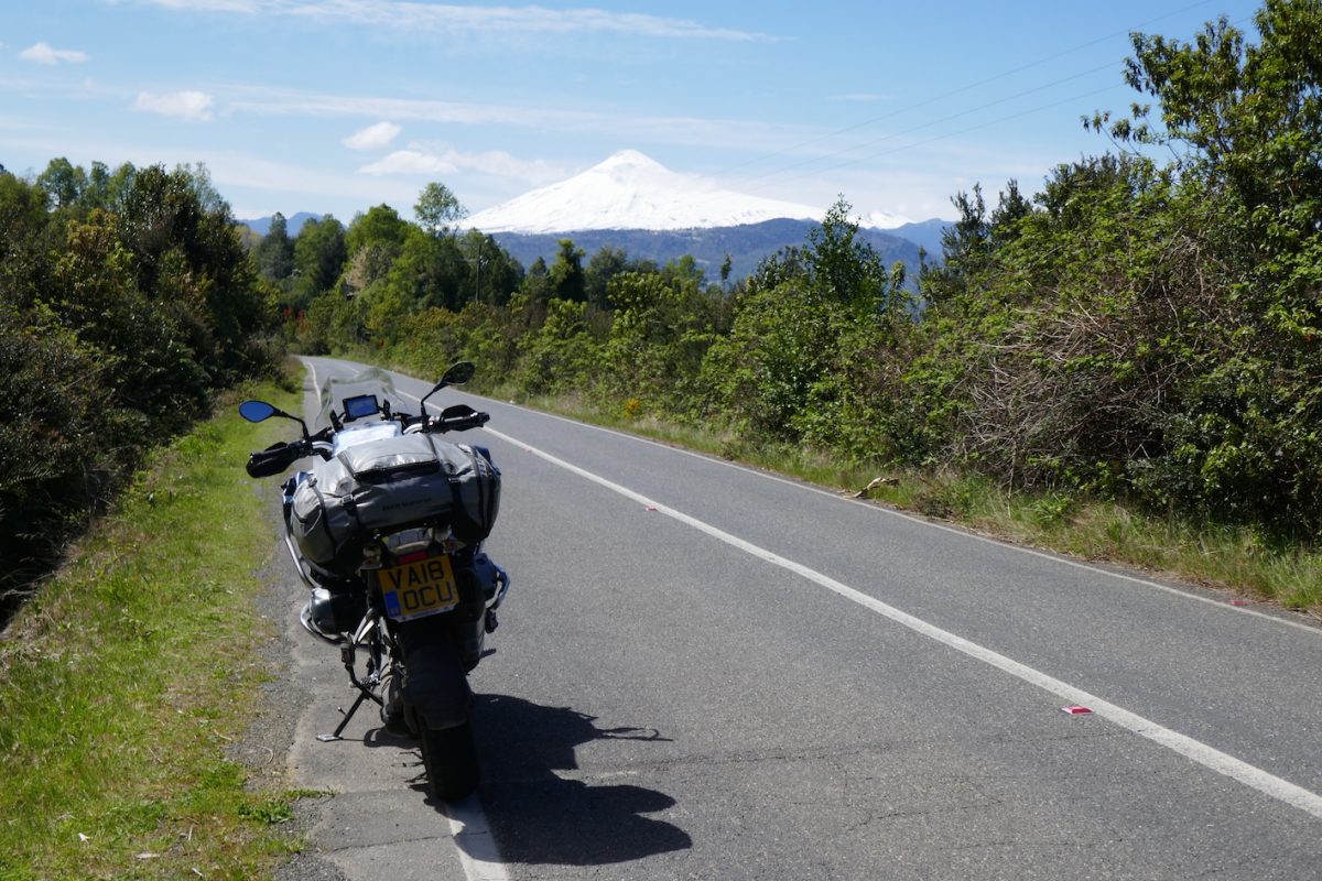
And then I got to Panguipulli and I thought  – this is a bit like the Lake District!

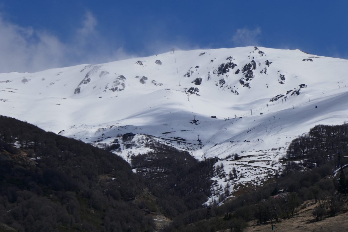
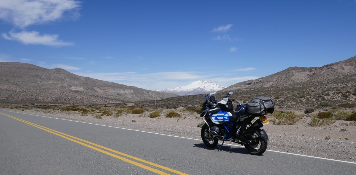
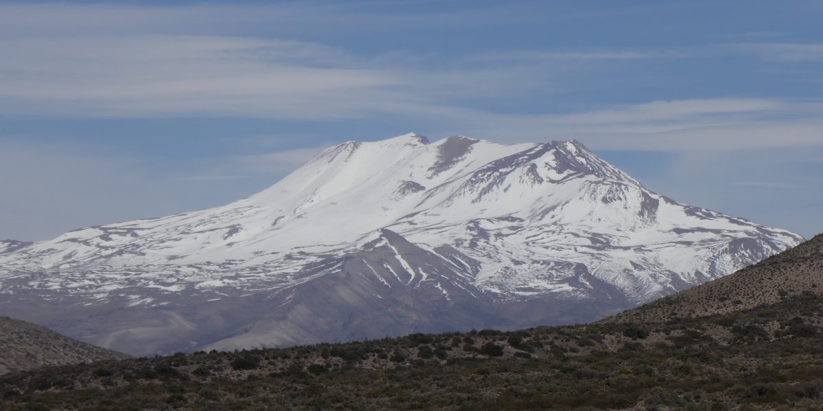
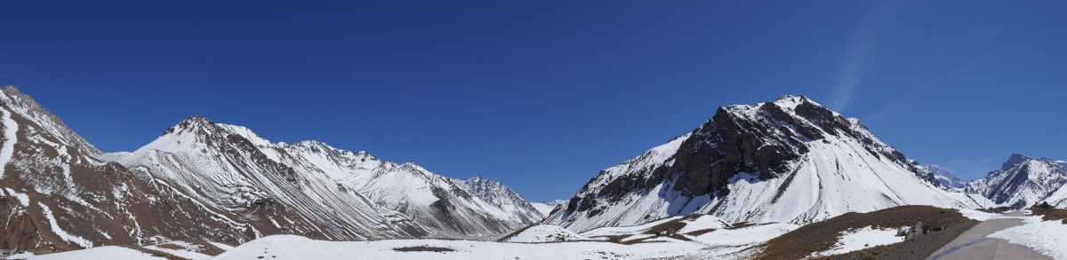
Except that the Lake District doesn’t have a 2,500 metre volcano in the picture:

Lago Panguipulli, Volcan Shoshuenco in the distance
Volcan Shoshuenco from Lago Panguipulli

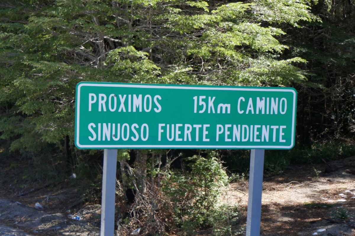
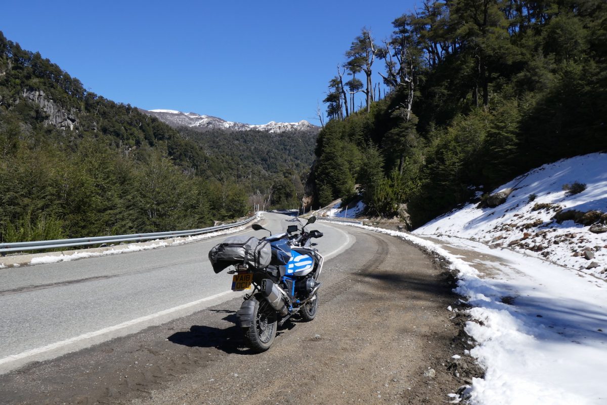
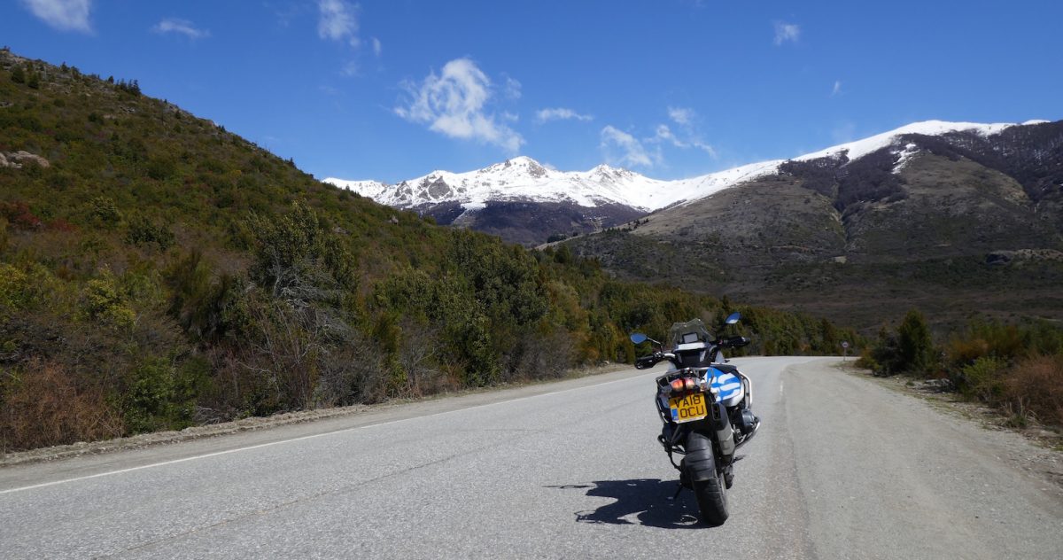
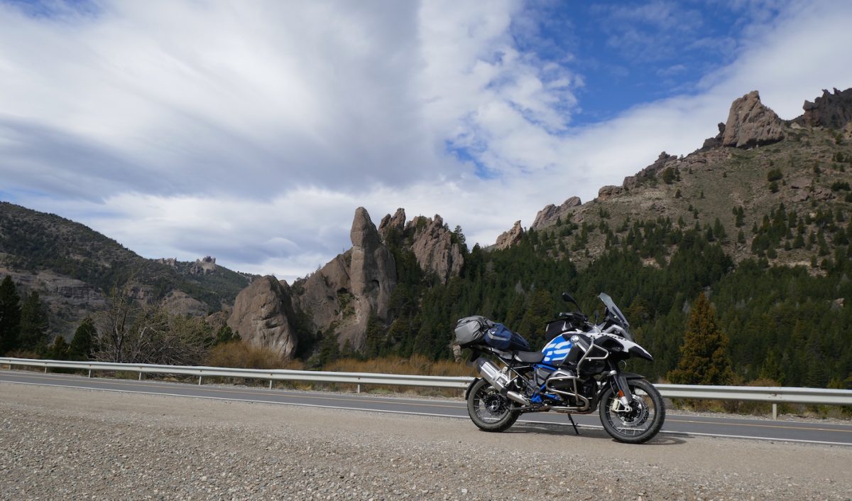
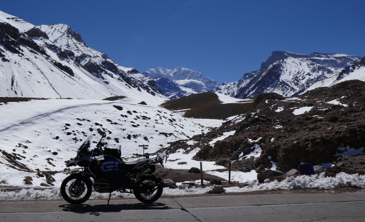
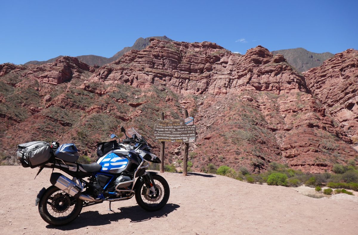
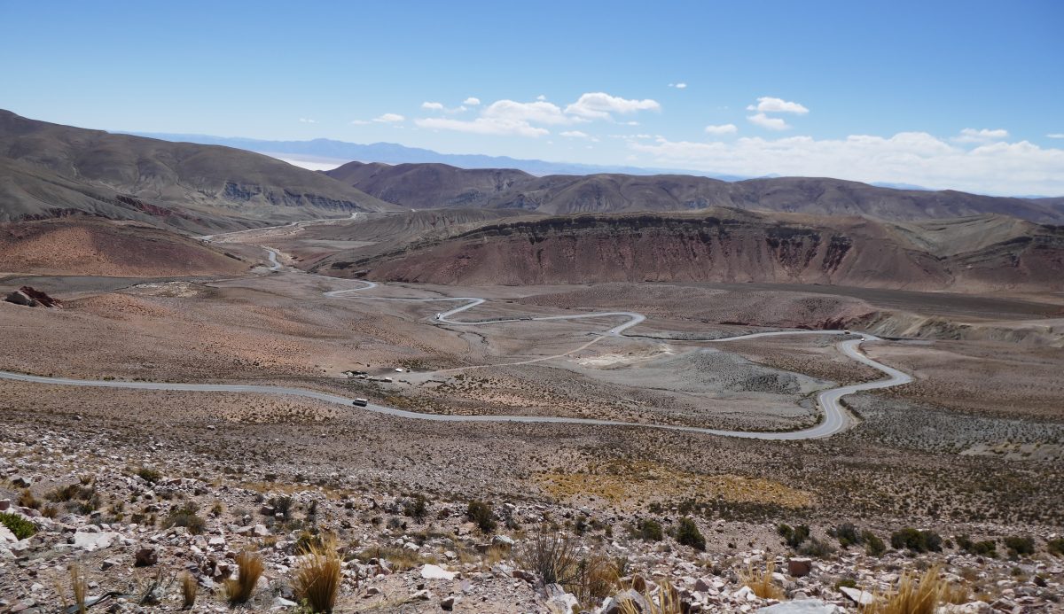
After a break for some hot chocolate in Panguipulli I headed for Villarrica. There was a direct route on the map but part was marked in white only indicating that it was unmade, The cafe owner confirmed there was a 12 Km stretch of unmade road and he said it wasn’t very nice but he also confirmed that the indirect route via Lican Rey was paved the whole way.

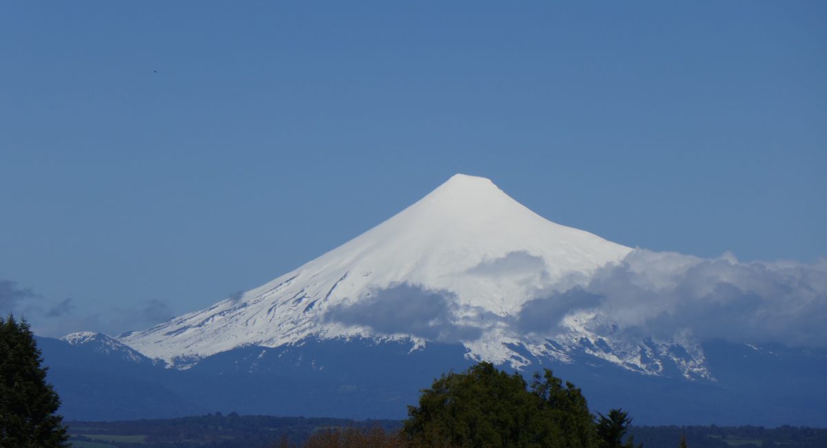
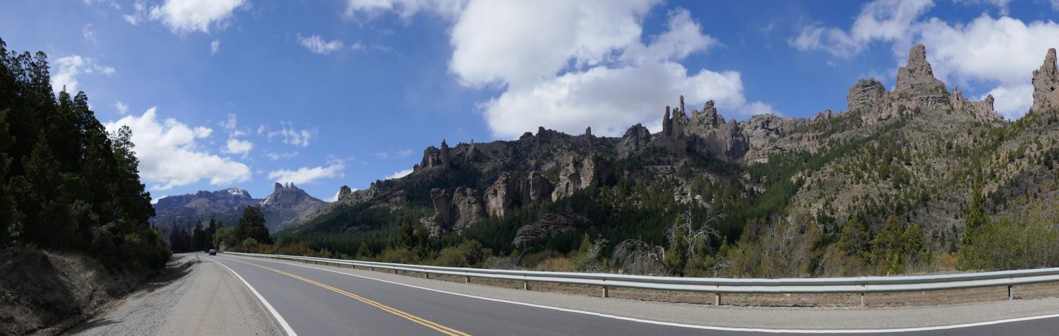
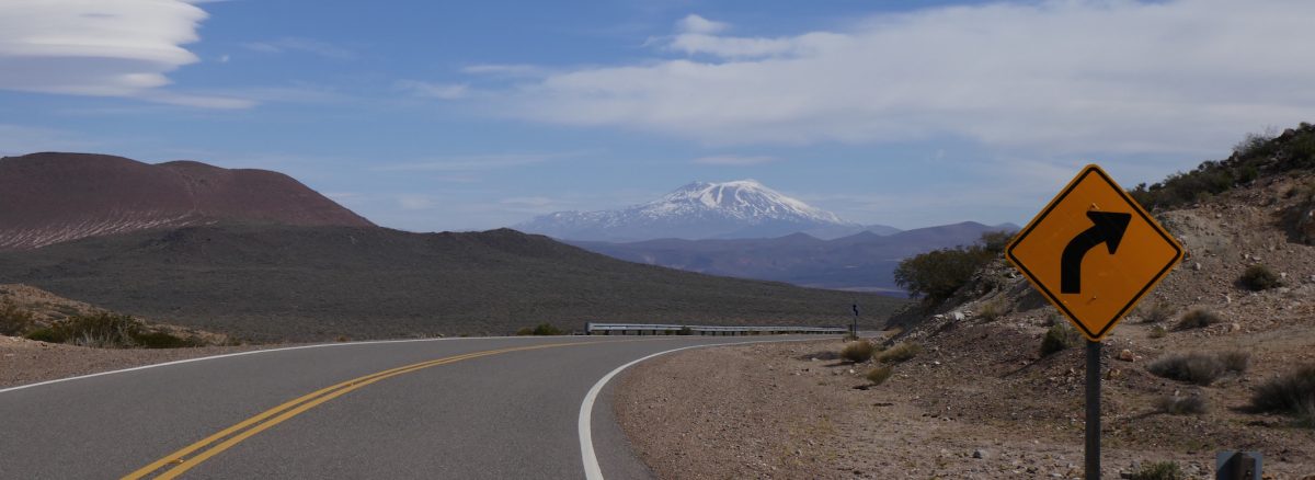
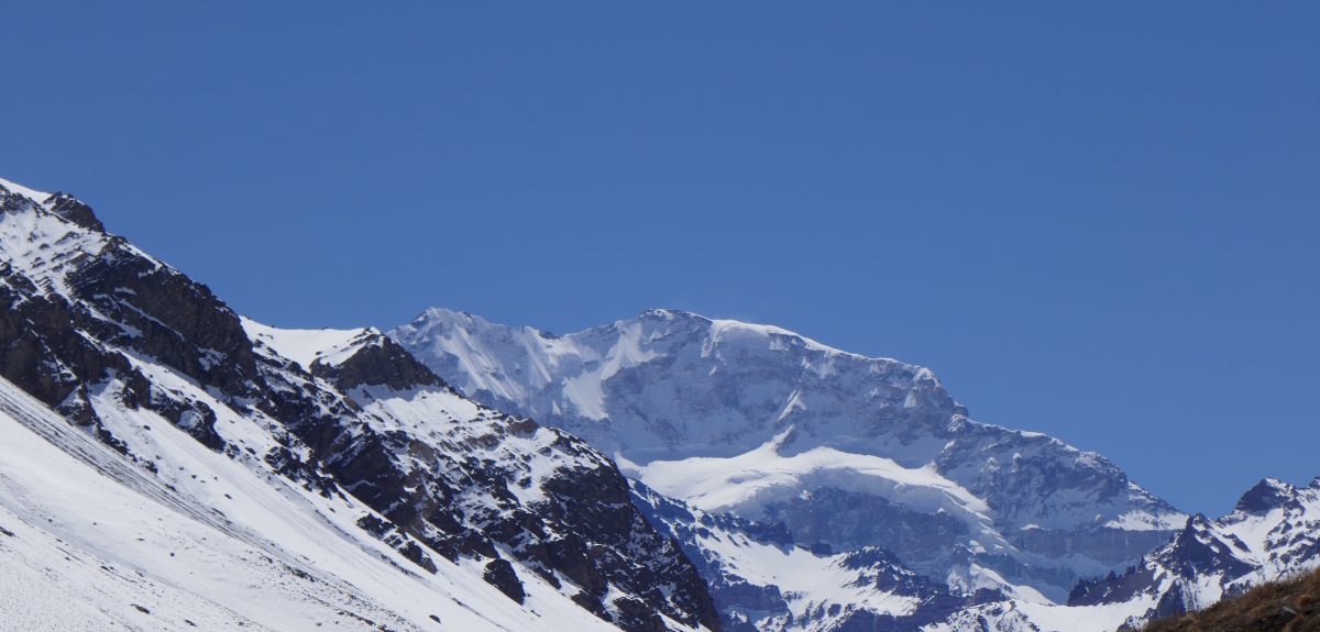
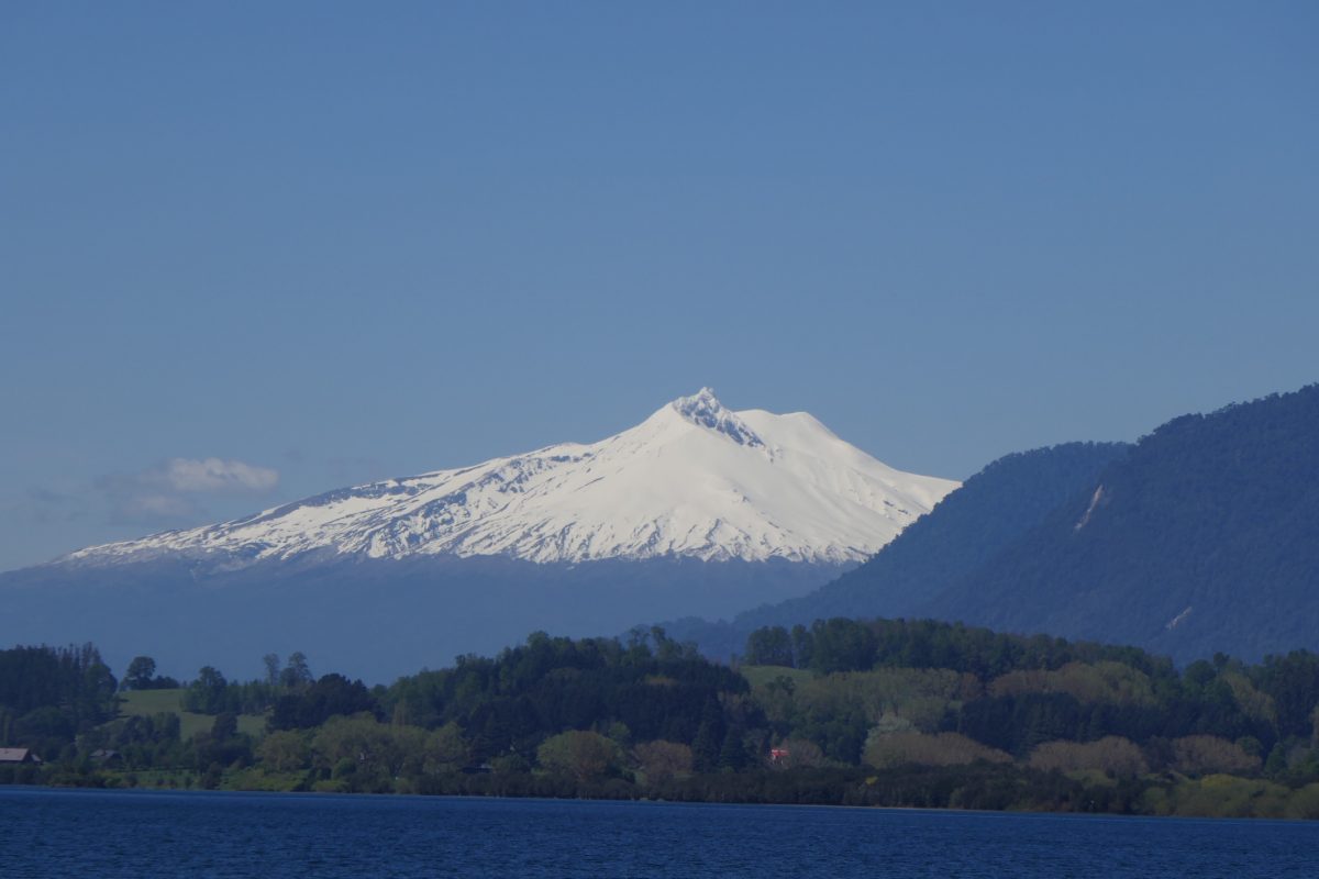
this road took you to the start of the unmade bit and as I approached I could see a biker coming towards me and making heavy weather of the going. Any thoughts I might have had about another bit of off roading went straight out of the window. Heading towards Lican Rey the view was dominated by another volcano, in this case Volcan Villarrica:

Volcan Villarrica on the road to Lican Rey

And a close up view:

Volcan Villarrica

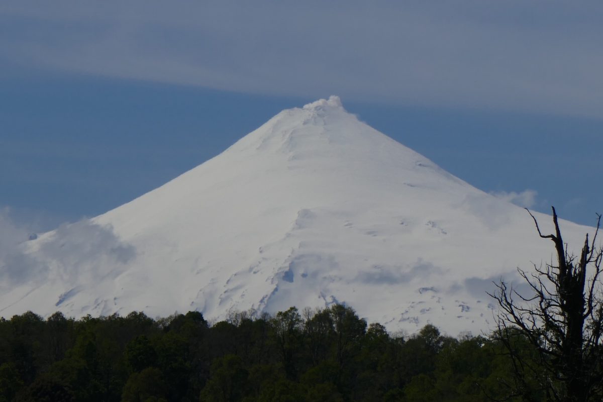
Very symmetrical – almost like Mount Fuji!

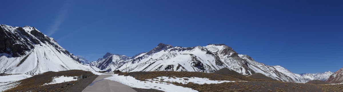
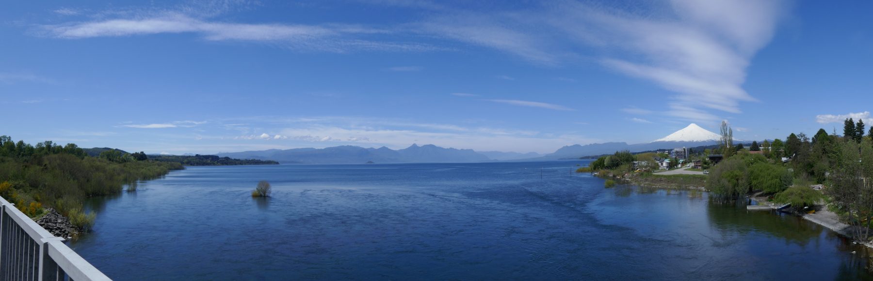
The road up to Villarrica wasn’t in the best of condition but it was OK. The town sits on the shores of Lago Villarrica and I took this panoramic shot from the 199 as it left town:

Lago Villarrica with Volcan Villarrica in the distance on the RH side

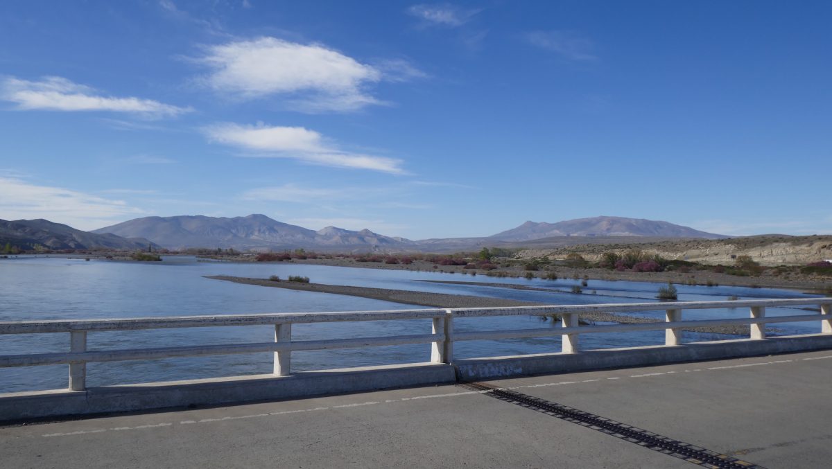
The 199 was not a great riding experience – long straight sections with a kink in the road every few miles – but it served its purpose in enabling me to munch some miles to get me to my destination of Salto del Laja. with the last section on Ruta 5 again.

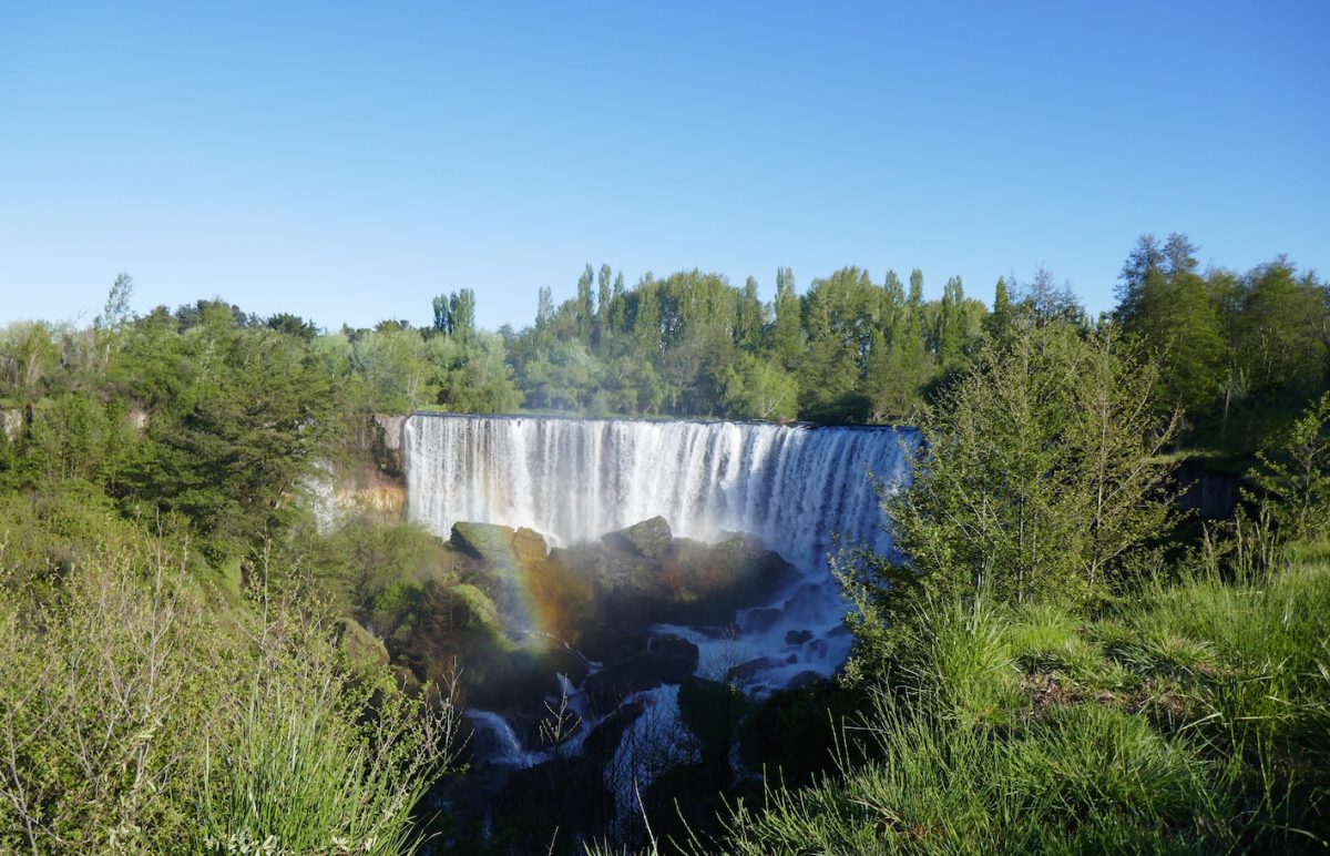
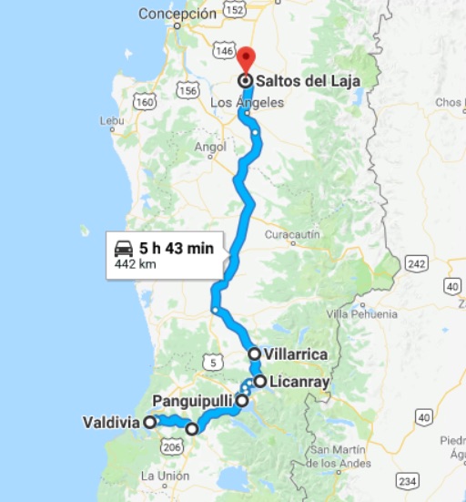
Booking.com had been the source of all the hotels I stayed in en route. The blurb had mentioned a waterfall and that the hotel was on a private island. Both turned out to be true. What it didn’t mention was that once you had crossed the bridge onto the island, the track up was not motorcycle friendly especially one which weighs 260 Kg without luggage. After a bit of a struggle I made it. The waterfall was, however, probably worth it:

Waterfall at Salto del Laja

This was my route for the day:

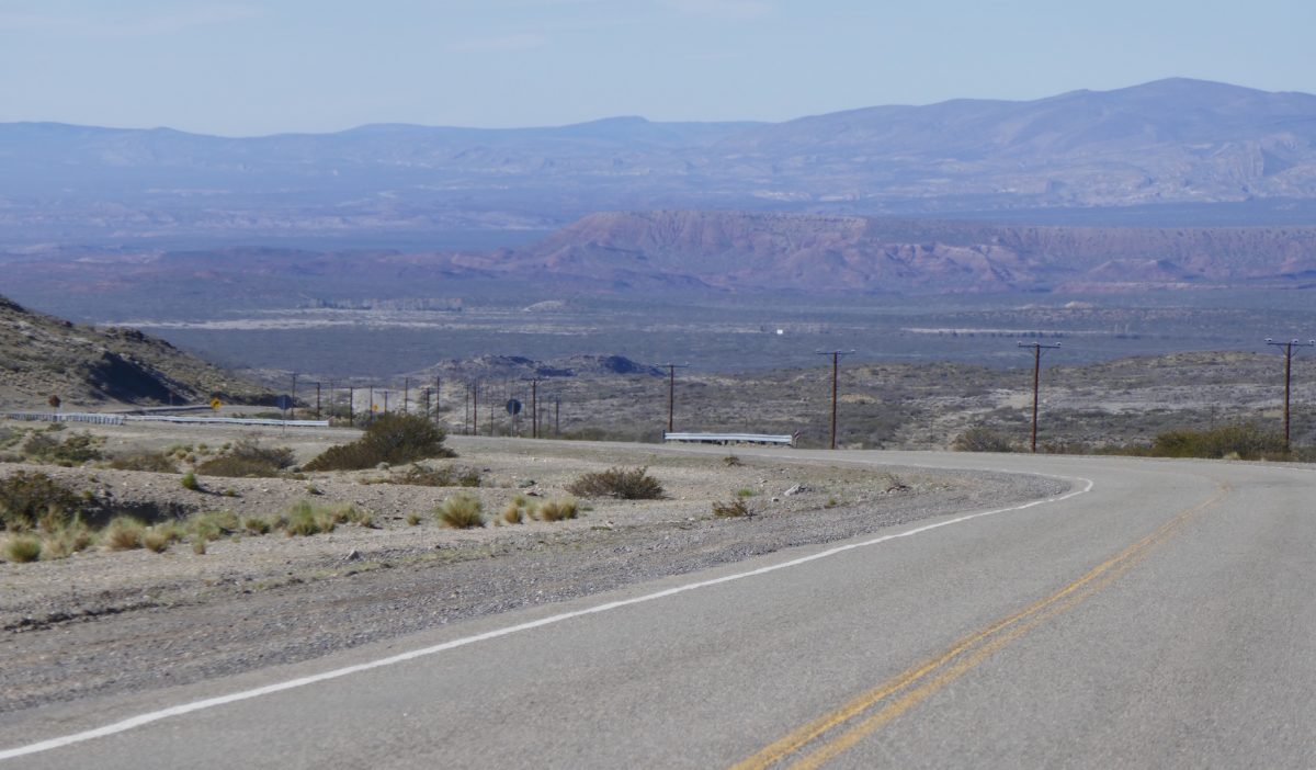
The following day was to be my last substantial day’s ride. I debated another cross country trip but the truth is that there are no really decent alternatives to the main North South route – Ruta 5 – unless you want to add a lot of time and distance to your day. Chile is simply a long and very thin country. There is 1 main North South route and that’s it. By this stage I decided not to try my luck any more. Thus far I had kept it upright and the bike hadn’t missed a beat, so Ruta 5 is was going to be. As an indication the Sat Nav said the fast route from Salto del Laja to Santiago was a touch over 300 miles. Take Ruta 5 out as an option – simply set the device to “Avoid Toll Roads” – and it was well over 425 miles.

So Ruta 5 it was. My first really easy day on the bike. Just over 300 miles in 4 and a quarter hours with a fuel stop and various stops for tolls along the way. The tolls for the bike aren’t expensive, probably only about 3 or 4 £ or Euros for the whole 300+ miles.

It was, however, noticeable that the Chilean Carabineros take their speeding seriously. I saw 5 separate groups with laser guns along the route. In Argentina I never saw one.

So I reached the hotel for my last 2 nights in plenty of time, especially for a beer, Austral this time:

A glass of Austral in Santiago

The following day was a day of rest subject only to one last task which was to deliver the bike to the freight agent. I didn’t want to have any potential hassle with the Chilean Customs on the day of the flight, and the agent – Julio Harboe of D&D Cargo SA – said I could drop the bike at his house and he would take it from there. He said he would be round at 5.00pm so I could follow him to his house.

I was ready and waiting when I noticed the mirror image of my bike coming into the hotel. It was Julio:

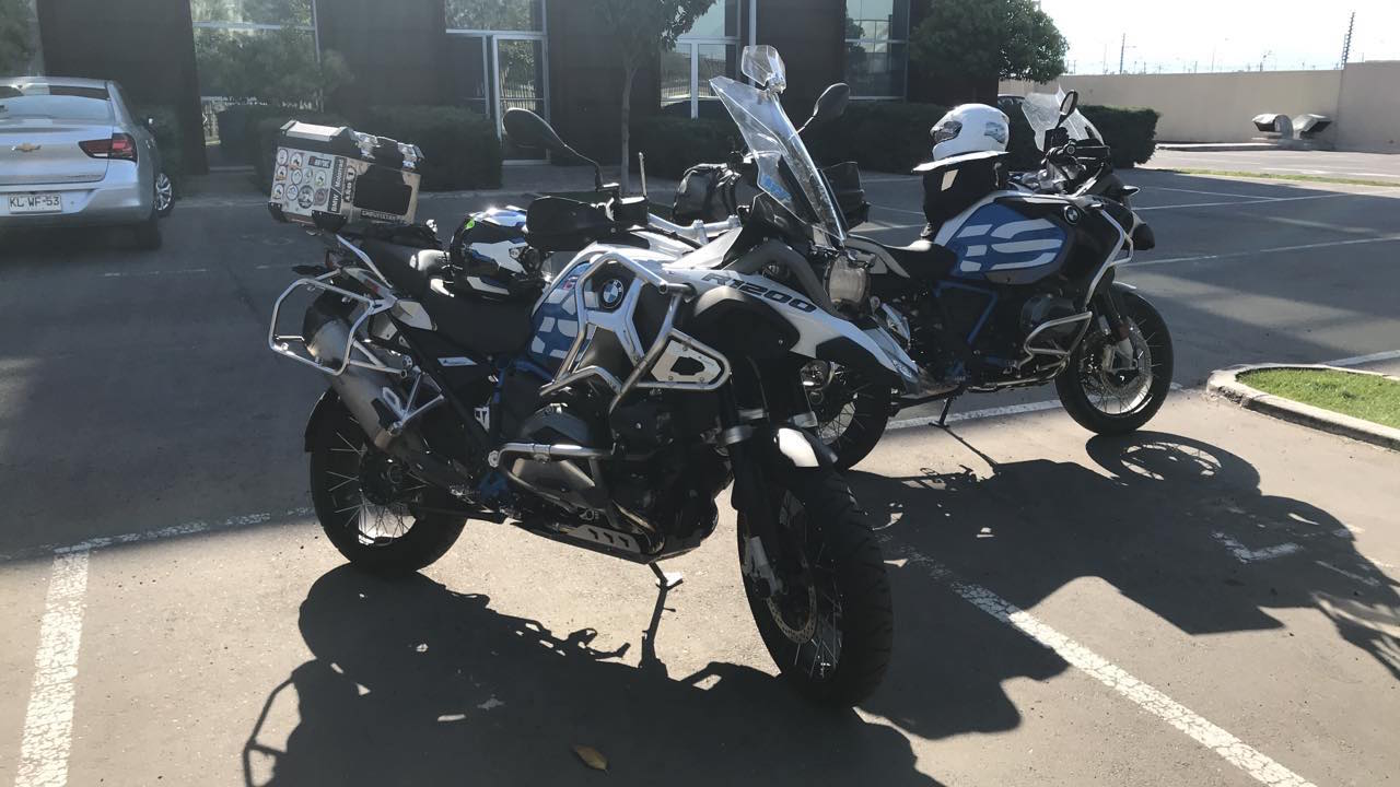
His was the fully loaded version of mine which I had deliberately specced with the minimum of things which could go wrong far from home. So my only options were Tyre Pressure Monitors, the SatNav fixings, the up and down quickshifter, and the must have – Heated Grips! Having dropped the bike off Julio presented me with a sticker saying I was now a member of the BMW Riders of Chile – of which he was a Director, and then drove me back to my hotel. Tip top service.

The following morning was restful. Airport shuttle from the hotel to the airport which was only about 2 Km away, quickly through Passport Control and Security, locate the Lounge and relax.

But on the way to the departure gate there was still time to burn off some Chilean Pesos by having a last beer:

My last beer in South America, a glass of Kunstmann!

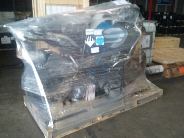
I will next see the bike in a week or tow’s time when I pick it up from Motofreight, the UK freight agent who shipped the bike out to Chile.

In the meantime I have this photo which Julio sent me of the bike all wrapped up and ready to go:

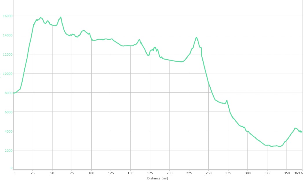
In summary, the Odometer said I rode 5,058 miles or 8,093 Km. I rode on 20 days so an average of 250 miles or 400 Km a day. My highest point was 4,835m on the ride from san Pedro de Atacama to Salta. I took in the region of 1,000 photos of which I kept just over 300 and posted here.  I drank a not excessive amount of really good local beer and some of the local wine and a small amount of Pisco, the local spirit. As noted above the bike didn’t miss a beat.

All in all a very good bike trip.

11 October – around Puerto Varas

OK, I’d arrived in Puerto Varas and as I was staying there two days, the following day I went out to explore a bit more.

It was only 130 miles and this was my route:

Essentially I rode back the way I’d came the previous day to Ensenada then took a back road up to Petrohue, back to Ensenada then down to Ralun, back again to Ensenada and Puerto Varas then a ride down to Puerto Montt and back.

The morning had been very overcast but as noon approached the sun came out and I had a pleasant 3 hours.

The area has a strong German influence. Many Germans emigrated to this area in the 1850s. Their influence is seen in the style of architecture and even the cooking – lots of places advertising Kuchen and Strudel.

Here are a couple of churches I passed – both Lutheran naturally:

And then it was off towards Petrohue.

I spotted a river – the Rio Petrohue – and a couple of riders next to it.

The river:

and the riders:

Parle Raud and Jaanus Ugur from Estonia on their round the world trip

They are Parle Raud on the left and Jaanus Ugor on the right. They are from Estonia. She is riding a BMW 650 GS and he is riding an 800 GS. We had a nice chat. They just decided to sell everything and ride around the world. They have ridden from Estonia through Europe, the Middle East, Pakistan, Thailand, Australia and now they on their South American leg, with the aim being to ride to Ushaia – the Southernmost point in South America reachable on a bike. They are recording their journey on Instagram:

www.ilmaring.ee

Ilmaring means round the world in Estonian.

I thought hats off to them. They are trying to avoid pavement as much as possible. The only problem they have had is with the stators – apparently now fixed. They made my trip look a bit pathetic by comparison.

Back on the road I headed towards Ralun. This is a dead end road so I rode till I found so photo opportunities:

This is the estuary into which the Rio Petrohue empties:

and on the way back to Ensenada I spotted this pretty little lake:

The Laguna pates on V69

Finally, the German settlers needed some power to help them clear the land, so they bought a lot of steam engines. You see them dotted everywhere as mementoes of their settler past:

This was the best one I saw that day.

I rode down to Puerto Montt which only confirmed the advice I’d had from my friend Rosalia: Puerto Varas is much nicer than Puerto Montt!

10 October – I leave Argentina for Chile

With my flight back rearranged for 16th I needed to start on the way back to Santiago.

I decided to head for Puerto Varas in the “lake” country, broadly due West of Bariloche. Initially I had thought I would go to Puerto Montt but Rosalia had told me that Puerto Varas was much nicer.

The weather was being kind to me. Gone were the snow and sleet showers of the last two days and the very strong winds which had accompanies them. The forecast was right:sunshine and less wind. That didn’t mean it was war, it was hovering around 6.0c as I left.

I refuelled and headed East back the way I had come in to Bariloche in order toe skirt the Easten end of Lago Nahuel Huapi so I could take the turn onto Ruta 40 heading North West to Villa Angostura.

After a few Km I took the first shot of the day, one I particularly like. The sun was glinting off the tops of the peaks which surround Bariloche:

Looking across to Bariloche with the sun glinting off the snow

I was enjoying the road as well. It was following the contours of Lago Nahuel Huapi which is always likely to make for a good motorcycling road:

Towards Villa Angostura, Lago Nahuel Huapi on the left

Through Villa Angostura I took the left off Ruta 40 signposted Chile. This was pretty good as well although not high – the pass into Chile is only about 1,300m.

The road ran past  Lago Espejo:

Lago Espejo

and then I reached the Argentinian border control which is a few miles away from the actual border.

The procedure is the same both sides.

There is a border post. He/she hands you a “Tramite” sheet with your registration number on it. You ride to the border post and go in. Tramite 1 will be passport control, where they stamp your passport to confirm you are leaving the country.

Tramite 2 is the Aduana or Customs. Here they check the bike document you were given when you entered the country against the V5 Registration document.

Sometimes there’s a Tramite 3 – as on the Chilean side where they check you’re not carrying unauthorised foodstuffs – but on the Argentinian side they weren’t fussed as I was leaving.

Then you leave and pass through another check where you hand over the Tramite sheet which has been stamped at every station you had to have attended – this stops you trying to sneak past the checks.

A similar procedure occurs when you get to the Chilean post – actually about 23 miles past the border. But there are 3 Tramites – passport where they stamp the passport and give you a PDI slip – vital to keep this safe as it gives the details of the temporary Visa they grant you. The Aduana where they give you a new bike certificate – again vital if you want to take the bike out. Thirdly, the agricultural department to check for prohibited foodstuffs. Cars can get well turned over but given the limited luggage capacity of the bike, it was a very cursory check.

Anyway past the Argentinian post and it was about10 miles to the border on a nice twisty road:

Camino Sinuoso – good news for motorcyclists

Although it’s not high there was a lot of fresh snow:

After the Argentinian Border Post
Cerro Tres Hermanos

I stopped for some photos and an Argentinian chap and his wife also stopped and asked if I wanted a photo taken of me. I couldn’t say no and the quid pro quo was I took shots of them and their baby against the snow bank.

Stil in Argentina

A kilometre or so later on we reached the actual border:

From there it was a good run down onto the plain:

In Chile

Looking West towards Lago Puyehue

On the plain it was very noticeable how different the landscape looked. It was very lush and green.

The SatNav was saying to go to Osorno and then head South on Route 5. I’d looked at the map and saw there was a road marked which would take you down and around the shores of Lago Llanquehui which is a big lake and Puerto Varas sits on the South Western corner. However, it was marked in white indicating an unmade road. When I arrived at the junction the road was tarmac so I took a chance that it would run out – but it didn’t and it was tarmac all the way to Puerto Vargas.

This is active volcano country and it seems that the earthquake activity is much greater in Southern Chile rather than mid or Northern Chile. The sun was out and the sight was great:

Volcan Puntiagudo on the left and Volcan Osorno on the right
Volcan Osorno, 2,650m
Volcan Puyehue
Volcan Osorno again
Volcan Calbuco

and this one did erupt in 2015 after about 40 years of doing nothing which I guess in Volcano terms is the blink of an eye. You can see some footage here:

From Ensenada it was a 35 minute run to Puerto Varas. My route for the day:


8 October – around Bariloche

I had the day off yesterday which enabled me to get the trip report up to date and after spending time this morning rearranging my flight back to Madrid, I headed out for a ride around Bariloche. I got the best of the weather leaving at noon and getting back by 4.30 – it was cloudy this morning and it’s been raining then sleeting since around 5.00pm.

I rode about 120 miles and took some photos. I’ll just sub-title them and won’t post a route, save to say that I haven’t ridden in such winds ever. There was one occasion when I had difficulty in keeping the bike on the road such was the strength of the cross wind. I was riding at 15 degrees off the vertical a lot of the time. Anyway here are the photos:

Lago Nahuel Huapi

This is the big lake – not a reservoir – that San Carlos fronts onto.

Lago Perito Moreno
Lago Perito Moreno
Panorama of Lago Perito Moreno

A small lake largely surrounded by Lago Nahuel Huapi

Then I rode up to Villa Catedral where Bariloche’s ski resort is situated. A small part of the mountain is still open but this week is the last of the season.

Villa catedral Ski slopes in the background
Villa Catedral

and a closer view of the slopes:

The ski slopes at Villa Catedral

On the way down there was a nice view over Lago Nahuel Huapi:

Overlooking Lago Nahuel Huapi

It looked a nice place to ski.

Next I headed back down Ruta 237 to check out the road up to Lago Traful.

First I stopped at Antifeatro – the amphitheatre – a natural bowl:

Antifeatro on Ruta 237
Rio Negre at Antifeatro on Ruta 237

This last photo doesn’t do justice to how clear the water was – this is the Rio Negre which flows from Lago Nahuel Huapi.

Then a little further on tp the entrance of the road to Lago Traful which is an unmade road but which looked OK. I might explore it further tomorrow.

Finally two photos of the rock formations near the entrance to the Traful road:

Panorama of rock formations near La Lipela on Ruta 237
Rock formations near La Lipela on Ruta 237

and that was it for the day. Perhaps tomorrow I will ride up to some more lakes. There are enough of them around here.


6 October – Chos Malal to Bariloche

It was time to leave Chos Malal and head for Bariloche.

Police checks seem to be a way of life in Argentina and this morning was no exception. Before I left town I was stopped and asked for my passport. The young lad looked like a trainee as his mother hen was standing behind him nodding with approval as he wrote down my passport details. He then hands me my passport back and with a smile bids me on my way. A few yards further on I noticed a sign that said that Chos Malal was the halfway point on Ruta 40. A photo was clearly in order:

Chos Malal – apparently the halfway point on Ruta 40

A mile or so further on I came to a decent sized river – Rio Neuquen:

Bridge over the Rio Neuquen
Rio Neuquen

The map indicated that there was nothing of any significance en route till I arrived at Las Lajas just under 100 miles away. So it proved.

The road was in good condition with very few “camino sinuoso” sections. but the sun was shining and I was toodling along at around 70-75 and enjoying it. This doesn’t mean you could switch off. Although the road is fenced off on both sides, 100 miles of fencing times 2, is a lot of fencing to maintain, and surprise, surprise there were gaps, as this enterprising Hereford bull had discovered:

Hereford Bull South of Chos Malal

You wouldn’t want to hit him in a car let alone a bike.

The views weren’t that exciting but nice enough:

Ruta 40 towards Las Lajas

Passing through Las Lajas I decided not to stop there but to continue on to Zapala, about a further 30 miles on, before stopping. As I approached there were Police manning every roundabout and junction. It took me a few minutes to work out that they weren’t on the lookout for me but were there as there was a bicycle race being held and they were there to marshall the traffic.

I did my 15 minute queue for petrol and decided against stopping anymore and instead to get on with it. I stayed on Ruta 40. The road surface was initially appalling – potholes everywhere and I was down to 20 mph so I could avoid them – I’m not joking when I say that hit one of these at 70 and you could well puncture if not destroy a tyre. After about 10 miles things settled down and despite there being warning signs about the state of the carriageway – the “calzada” – there was just the odd pothole to avoid from there on during this leg which was about 110 miles to the junction with Ruta 234 near Estancia San Ignacio.

Here is a photo of an early section after the potholes had reduced:

Ruta 40 South of Zapala

The middle part of this leg was uneventful apart from the clouds gathering and me wondering whether it was going to rain. It was cold enough even though I was only at about 1,000 metres of elevation.

Towards the end I could see another dormant volcano about 40 miles off to the right – Volcano Linan:

Volcan Lanin from Ruta 40 – about 40 miles away

Apologies for the poor quality but I looked at the map after and it is 40 miles away.

I then saw my first armadillo – sorry no photos as it scuttled across the phone doing twenty to the dozen.

And little later on I started the descent to the junction with the 234. This was a nice piece of road, definitely a bit sinuoso:

Ruta 40 near Estancia San Ignacio

and then Ruta 40 joined Ruta 234. It’s a bit daft as Ruta 234 used to be Ruta 40 and they have renamed another road as Ruta 40. Both roads will take you to Bariloche but after yesterday’s efforts I opted for the shortest route – Ruta 234 followed by Ruta 237.

Ruta 234 was nice. It runs alongside the Rio Collon Cura:

Where Ruta 40 joins Ruta 234 – which used to be Ruta 40 – by Rio Collon Cura
Rio Collon Cura on Ruta 234

It was along this road that I saw my first Geoffroy’s cat. It looked like a largish house cat but further research old me that this was a Geoffroy’s cat:

https://en.wikipedia.org/wiki/Geoffr…m/P1000535.JPG

I also had a bit of fun on this stretch with a driver of a Ford Focus or similar. He was doing about 70 when I cruised past him at about 80. This seemed to affront his Argentinian machismo so he accelerated and came past at 90 and kept going. I let him go. Now this road had a few bends thrown in and it was noticeable how much he slowed down for them, when frankly there was no need. So soon I caught up with him and the repassed him in a series of bends. Next we get to a long straight and again he hammers past. He isn’t ever going to win this as I can see a couple of Artics/Semis a mile or so ahead and sure enough he can’t overtake them while I sail past. Bye bye Señor Ford Focus driver.

Next up I turn right over a large reservoir onto Ruta 237 which will take me to Bariloche. This runs past another very large reservoir fed by the Rio Negre from Bariloche, the Lago Alicura:

The Alicia Reservoir – fed by the Rio Negre
Panoramic view od the Alicia

This road would have been fabulous but for some dickhead Argentinian Policeman in a patrol car. Having stopped for the above photos a few miles down the road I came across an Artic/Semi with a big load. The road is a newish road engineered around the reservoir so its up and down withe Arctic doing 40 on the descents and maybe 10 on the ascents. All this is marked single yellow line meaning you can pass if its a tractor. The Arctic is being followed by some small saloon and then the Police car. the Policeman could easily have overtaken and left the rest of us – there were about 15 vehicles following at one point – to our own devices but I suspected he was trying to goad the saloon driver into overtaking, so he could book him.

This continued for a good 10 miles when eventually we get to a broken yellow line and the Policeman overtakes. He then f**ks off at 90 and the rest of us overtake to find him tooling along at 50 and then accelerating to 80 and back to 50 etc. If I’d had a hotshot Argentinian lawyer following in a support vehicle I would have been tempted to blast past the useless POS and see if he could catch me, but I wasn’t so I didn’t.

However after a few miles I came to a lovely stretch of road which demanded a few photos:

Ruta 237
Ruta 237
Ruta 237
Ruta 237

A few cars and trucks passed as I was taking these photos. On getting back on the bike I caught them up and was looking forward to a bit of overtaking action when I realised the 4×4 two in front was a Police vehicle of sorts. However he was doing 75 and not attempting to pull over the cars in front so I decided it was better to roll with the punch on this one and follow them into Bariloche. At least he wasn’t behaving like the wanker earlier on.

This was my first sight of Bariloche:

Approach to Bariloche

This was the route for the day:

Route Day 14

and tomorrow i.e. today I was going to have the day off and get this trip report up to date, as I indeed have!

5 October – Character building stuff on the way from Malargue to Chos Malal

My host at the hotel in Malargue didn’t speak any English but his son spoke passable English and the father kindly got his son round so I could question him about the state of the road from Bardas Blancas to Barrancas, a good chunk of which was marked as unmade.

I prepared a list of questions in Spanish about the state of the road and with the son’s help the essence of the father’s advice was as follows: the unmade section was about 30 km long; about half was easy – like the unmade road leading to the hotel – and half was hard but by keeping the speed down I should have no difficulty.

So off I set and the first part of the ride was pleasant with a good road surface and nice views:

South of Malargue on Ruta 40
Further South on Ruta 40 South of Malargue

and a close up of Cerro Tenquimalal close to Bardas Blancas

Cerro Tenquimalal

Arriving at the point where the road turned 90 degrees right I could see the start of the section was inauspicious. A bridge had been washed away and I had about 2 miles of loose pebbles to negotiate to get to Bardas Blancas.
The next bridge was standing and it announced that I was crossing the Rio Grande:

The Rio Grande at Bardas Blancas

Looking the other way was a valley – keep going straight up this and you would be in Chile:

Through Bardas Blancas and things looked up: there was a brand new bit of lovely looking tarmac next to the old road:

South of Bardas Blancas
Ruta 40

and here’s the original gravel track:

Old Ruta 40
Old Ruta 40

However, the new bit of tarmac ended a lot earlier than indicated on the map:

Where the Pavimento ends

and it was loose pebbles on top of hard packed earth. The hard packed earth on its own would have been fine but pebbles rather than gravel meant that my pace was painfully slow. I really did not want to have to pick the bike up even though I know how to do it.

There were a few diversions along the route. First a goat herd:

Goats South of Bardas Blancas

then an oil thingy – there had been a lot South of Mendoza – but I was surprised to see one here:

Nodding Donkey

At this point I was consoling myself with the thought that this was the bad 15 km the father had been describing, but after about 20km of this I was wondering how good his advice had been. Anyway the thought of turning back was worse than the thought of continuing so on I carried.

Then things improved. The pebbles disappeared and hard packed earth with a bit of gravel took over. This was fine:

Hard packed earth = OK

Then I got to a point where the road crossed the river – where it had bored its way down through a lava field over thousands of years:

River through Lava, where the road got bad
River through the lava

and the road got a lot worse as we were back to pebbles and it seemed that they were deeper in places and the road was also going up and down. The up bits were OK but the downward stretches if they were on bends were a 1st gear and feet down job.

I manage to keep it upright and took this photo looking up at the volcano you can see in the previous photo:

Volcano in the background on the bad stretch

The river is running in the gully just behind. There was also a cabin there and the local came out to see what was going on when he heard the bike so I gave him a wave and he gave me one back. He was probably thinking “What is this crazy gringo doing riding
a motorbike on this s**t”.

A few miles further on I came to another bridge at a spot make on the map as El Zampal and things improved significantly. The pebbles disappeared and I was back on hard packed earth and gravel and I just had to be a bit careful where there was sand.

The point where matters improved:

El Zampal, where the road improved

and then I made decent progress for another 10 miles or so – with a fox crossing my path at one point – until the promised land arrived: the land of tarmac!

If there had been someone there to take the photo I would have kissed the tarmac with joy:

The end of the rough stuff
On the rough and on the pavement

The father’s 30km had turned out to be 80Km of which around 45km at least had proved to be horribly difficult. It had taken 3 and a bit hours.

In retrospect I can view it as a character building experience, a bit like riding through the torrential downpour on our recent French tour: http://www.bbot.co.uk/tours/we-reall…barcelonnette/

At least the wait for the tarmac had been worth it:

Pavement worth waiting for

and looking East from that point to Cerro Payun:

Cerro Payun

and here in the distance you can see Chapua, another dormant volcano:

Ruta 40 with Chapua in the distance

and finally here’s a small volcano just off Ruta 40

Small volcano before Chos Malal

I hadn’t booked a hotel for the night but had checked that there seemed to be plenty of availability in Chos Malal the next decent sized town, where I had my first experience of queuing for petrol. Apparently in the more remote parts petrol stations can dry up if the tanker doesn’t turn up on time so even with a 30 litre tank which had a stated range of 129 miles I wasn’t going to take a chance. So I queued like an Argentinian – 25 minutes but I regarded it as one of life’s experiences.

Here was the route for today:

Route Day 13

Tomorrow I would be leaving for Bariloche.

4 October – Mendoza to Malargue

It was time to head South towards San Carlos de Bariloche.

Looking at the map I saw there was a chunk of Ruta 40 marked in white only which the code said meant the road was unmade. So I decided to book a hotel at Malargue, North of the said section.

The ride down was only slightly eventful. Leaving Mendoza, Ruta 40 is a dual carriageway which takes you as far as Tunuyan. The only thing of note was this statue on the roundabout at the end of the dual carriageway:

Statue outside Tunuyan

The road continued Southward without any drama until I got to Pareditas. Here one map indicated Ruta 40 continuing South on a paved road – showing red all the way. My other map showed it entirely in white i.e. unmade. However, there was a paved road designated Ruta 40 heading South although in the spirit of compromise it advised that the paved bit would end in 60 km. I thought I’d take a chance.

The paved bit was great but after 30 km it was barred – although you could see the tarmac heading into the distance – and a “Desvio” – Diversion – was signposted to the left. This was unmade but didn’t look too bad:

Where Ruta 40 ends South of Pareditas

I started when it became clear that there was a hard surface underneath but it was covered in sand of different depths, and you couldn’t tell where the deep bits were until the front wheel decided to tuck under. With tyres more suited to off roading I probably would have been OK, but I chickened out and retreated.

This involved a detour from Pareditas by heading South East on Ruta 142 to San Rafael and the South West on Ruta 101 to El Sosneado, to pick up Ruta 40 to Malargue.

It was an easy run to San Rafael but when I got to the turn onto the 101 I was met with this:

Road Block outside San Rafael

A member of the Gendarmerie – yes they use the same term as the French for their Police – explained that they were conducting blasting operations on the road and it would be shut for 90 minutes or so.

So I refuelled and got an ice cream in San Rafael and when the 90 minutes was up the road was reopened and we all got on our way and the rest of my ride to Malargue was uneventful.

Here is the route for the day:

Route Day 12

The following day was to be a different story.

3 October – Ruta 7 towards Chile and Aconcagua

It was my last day in Mendoza before heading South to Bariloche so it was time to explore.

I decided to head West towards the Chilean border and see if I could access the pass leading to the statue of Cristo Reventador on the border.

So I headed South on Ruta 40 for about 15 miles before turning right onto Ruta 7 which would take me the entire way to Las Cuevas where the pass road started.

As soon as I got onto Ruta 7 I could see Aconcagua, at over 22,000 feet the highest mountain in the Americas, North or South:

Aconcagua
Mount Aconcagua from Ruta 7

and here’s one with the BMW in it,  Looking nice and clean and with two new tyres from BMW Mendoza on it:

The Aconcagua range from Ruta 7

Not long after there was a lake marked on the map and unlike most lakes marked on the map this one had water in it – a lot of water. It had to be a reservoir for Mendoza:

Reservoir Ruta 7

I stopped to fuel up and headed back on Ruta 7 for Uspallata. Soon I picked up a railroad – like virtually everyone I’d seen in Chile or Argentina this was disused. I would follow it the whole way to Las Cuevas:

Ruta 7 heading towards Uspallata with railway on right
Ruta 7

The road was good but there were odd patches of potholes so I had to keep alert, but soon the valley opened out:

Ruta 7

Now I have been posting photos of roadside shrines. Frankly the Argentinian ones aren’t a patch on the Chilean ones but the Argentinians have a niche – which is shrines covered in plastic bottles – not empty ones because they would blow away: the bottles are full – of what I don’t know but it doesn’t look like pee!

Anyway exiting a tunnel I came across the largest one I had seen, by some level of magnitude:

Roadside bottle shrine on Ruta 7
Roadside Bottle Shrine Ruta 7

There must have been thousands of bottles. What the meaning behind this is a mystery to me.

Anyway carrying on I reached Uspallata where Ruta 7 takes a 90 degree turn left to head West towards Chile.

At this point I was at about 1,500 metres. I would climb to over 3,000 metres at Las Cuevas. The Cristo Reventador pass is at about 3,800 metres.

The road to start with is very good:

Ruta 7 after Uspallata

but the surface deteriorates the higher you get. It’s not surprising – its very cold and I was soon above the snow line. I was also fighting a string wind coming down the valley.

I got to Las Cuevas where the main road continues into a tunnel which takes you across the border into Chile. It was clear that the old pass road would be impassable due to (a) it was a hard packed earth and gravel road and (b) it was covered in snow higher up. My GSA was running brand new Michelin Anakee 3s which don’t have enough off road capability. Anyway I could but look up and just about pick out the statue. It’s on top of the pinnacle in the middle of the photo:

Las Cuevas and the – impassable – road up to Cristo Reventador

The road tunnel starts at about the same place where the old rail tunnel would have started. Interesting how the railroad has been entirely superseded by road and air transport.

There was no point in hanging about so I started back. This photo was taken at 3,011 metres heading East towards Uspallata:

Descending from Las Cuevas on Ruta 7

As I ascended the pass I’d noticed the entrance to the Aconcagua Provincial Park. Mike, who part owns and runs my bar of choice in Andorra – Hunters in Arinsal – is due to climb Aconcagua next year, so he may like these pictures:

Entrance to the Aconcagua Park Provincial

First a couple of those panoramic pics which the camera takes quite well:

Panorama 1 from the Aconcagua Park
Panorama 2from the Aconcagua Park

And now some of Aconcagua itself:

Aconcagua showing the two peaks

And one with the bike in it to prove I was there:

Aconcagua

and another one showing the two peaks very clearly. The one on the right is 30 meters higher than the one on the left:

Aconcagua’s two peaks

Heading further down I noticed this sign – “Las Malvinas son Argentinas” – the Falkland Islands to the Brits. Interestingly I haven’t had a single comment about the Falklands war since I’ve been here so I was surprised to see the sign:

Las Malvinas son Argentinas

but you do see them dotted about the place.

Further back towards Uspallata I dropped below the snow line and took these photos:

Descending towards Uspallata on Ruta 7

and finally as I entered the floor of the valley I took this shot showing the abandoned railway bridge:

Descending to Uspallata on Ruta 7 with the disused railway bridge below

Back in Uspallata I looked at the possibility of coming back to Mendoza on Ruta National 52 but discovered that it very quickly became a gravel and dirt road so decided to retrace my steps using Ruta 7. 400 Km or 250 miles in total and I was back in Mendoza.

The route for today:

Tomorrow I start for Bariloche. It’ll take me at least 2 days. I’m told the road is paved the entire way but that the condition is in places very poor. We shall see.

2 October – Last 3 days, Salta to Mendoza

After a day off in Salta, hunting for the Saltenas which Rosalia told me were the best, and which were indeed very good, it was time to head South. Day 1 was just to be a short one, about 125 miles to Cayafate along the Ruta del Vino or Ruta 68.

It was hot getting out of Salta but it seemed to get hotter. The temperature gauge kept creeping up till it was reading 41.5c. That’s not the hottest day I’ve ridden. That was with Andy Cameron in 2016 when we rode out from Seville in 44.0c heat.

41.5 was however more than hot enough and the ride had been fairly uninteresting with nothing worth taking a photo of.

After about 80 miles I passed a small collection of houses with a name – Alemania – so I guessed it had been founded by Germans, although I couldn’t see beach towels anywhere.

I stopped for a drink under the shade of a tree and when I got back on the bike things took a turn for the better. The road started to climb up alongside a river which actually had running water in it, and the next 40 miles or so to Cayafate was a really nice ride. Let the pictures tell the story:

Route 68 and my drink stop under the tree

Route 68 between Alemania and Cafayate

So a nicely engineered road, loads of bends, well surfaced, what was not to like! Well nothing, so those last 40 odd miles into Cayafate were very enjoyable.

As I entered Cayafate Ruta 68 became Ruta 40 – La Cuarenta – which  would ride for the next two days. My hotel – the Villa Vicuna – was excellent and it was a short walk to a restaurant which was showing the Argentina v All Blacks game.

The route:

Route Day 8

The next day I was heading for Nonogasta, 300 miles South on Ruta 40.

It wasn’t as hot as the previous day – 37.5c was the hottest it got – but today’s bugbear was the wind. It was fairly flat but the GSA has a big frontal area and the wind was buffeting me a lot.

The first part to Santa Maria was fairly busy but it quietened down after that.

After Santa Maria I came round a corner to see a recreation of the Hill of Calvary presumably so those minded to bother god could have a go themselves:

Cerro el Calvario near Santa Maria

From here the road opened up so I might ride 10 miles in a straight line and then have a slight kink in the road, left or right as the case might be, just to break up the monotony. Still I couldn’t stop concentrating – there were cows, horses, mules, sheep and goats wandering about in the scrub – and I didn’t want to collide with any of them.

From time to time you could see the original Ruta 40. In some places they have laid tarmac over it. In others the road runs alongside it, and in others the road is brand new and diverging from the original course by a mile or more.

In this photo the original road is 50 metres to the right running parallel with the new road.

There was one stretch of road on the map marked as unmade and I approached this stretch with some trepidation not really fancying 15 to 20 miles of unmade gravel road. All that worrying was needless. The map was out of date and the road past Hualfin was a new road.

Route 40 just before Belen Day 9

Carrying on I was approaching Chilecito when another dust storm blew up:

Towards Chilecito – dust storm on the right

Stopping in Chilecito for fuel I found my first empty fuel station of the trip but I still had enough to get to Nonogasta 10 miles down the road. I’d read about petrol stations running out in the more remote areas, with people being stranded until the fuel truck arrived. Luckily the Satnav said there was a station on the outskirts of town and they had plenty of fuel.

Rolling into Nonogasta and my hotel for the night the Hotel Posada al Olivo I found I was the only guest. Mine host explained that they had been full the previous night and the staff didn’t turn up foremother hour or two. However, fair dos to him he pulled out all the stops bringing me beer, local olives etc until the one member of staff on duty that evening arrived. She cooked me a lovely dinner, and breakfast the following morning was equally good. The setting was lovely and all this for Euro 75 – quite a few hotels want hard foreign currency and the quid pro quo is that you don’t have to pay the 21% VAT.

The route:

Route Day 9

Yesterday was potentially a long day with about 375 miles to ride to get to Mendoza.

I started off in sunshine and soon approached a pass:

Heading West from Nonogasta Day 10

That cloud was moving fast, this was taken seconds later

Heading West from Nonogasta Day 10

You can just about see the pass road cut into the hillside ahead. It would have been fun riding this but for the wind which was fierce and blowing the bike about a lot, and but for the temperature which dropped to about 9 or 10. I had to stop and layer up.

Pass summit Day 10

I rode the next 225 miles in a seriously cold wind and frankly it wasn’t a lot of fun. Still sometimes you have to suffer to get where you want to go and once I got past San Juan it started to get brighter and the last 50 miles into Mendoza were ridden in sunshine.

I could see some snow capped mountains and a check of the map confirmed that this was Aconcagua, which I’d seen from the plane as I flew into Chile 18 days previously.

Aconcagua from just North of Mendoza Day 10

I resolved to ride closer to it before I headed South and that is indeed on tomorrow’s agenda.

As for the day’s route:

Route Day 10

27th September – Across the Andes to Salta

Today would be a long day. The SatNav said 375 miles and although there’s a Chilean website which lists the status of all the border crossings and that said the Paso Jama was open, and the information was that the road was paved its entire length, that didn’t tell you what condition the road was in. Cold can do dreadful things to a road surface – just look at the photo from the previous day where I’d turned back. The road surface was severely damaged and the high point today was said to be at 4,850m amsl, or about 2,000 feet higher than the previous day.

San Pedro sits at 2,400 metres and as I left town  I could see the road heading up to the right of Cerro Juriques. After about 8 miles of flat road the climb started. In the next 18 miles, where the dirt road to Bolivia branches off I’d climbed 2,200 metres.

Straight on for Argentina, Left for Bolivia
Chilean Border post with Bolivia

and a little further on at 4,700 metres:

Route 37 and Cerro Juriques, 5,704m
Panorama on Route 37 – Cerro Juriques 5,704m

The signs were looking good. The tarmac even this high up was in good condition with only limited bits of surface break up and then only on the edges.

It was however, very cold at about 1.5 degrees C. Thank god for BMW heated grips.

Continuing on I came to my first salt lake of the day. Some of the tour buses were there but I couldn’t see a flamingo in site. There were however, some ducks:

Ducks by Route 37

The salt lake:

Chilean Route 37 – “Salar” or salt lake
Chilean Route 37 by a “Salar”

and a little further on a small herd of Vicuna

Vicuna on Route 37
Vicuna on Chilean Route 37

I was down at about 4,500m at this point but the road started to climb and I got to the high point where the Sat Nav said 4,835m amsl, so my device was reading a bit lower than the official 4,850m. Nevertheless, this was my altitude PB – 15,862 feet up.

It was warming up a bit and the road still showed no signs of degradation. I was really enjoying this. I came to Laguna Aguas Calientes which was very beautiful with a large heard of Vicuna about a mile away – too far to take any meaningful photos:

Chilean Route 37 at Laguna Aguas Calientes
Chilean Route 37at Laguna Aguas Calientes

Not long after I reached the border:

Border between Chile and Argentina

with a sign covered in motorcycle club stickers saying we were at 4,320 metres – my Sat Nav said 4,285, again under reading:

Border between Chile and Argentina

A mile down the road was the border post. After about 25 to 30 minutes of being passed from one counter to another to have papers inspected, new papers stamped etc I was through, and riding through a high plain. I could see trucks maybe 6 miles ahead and they would be doing 60 and I would be doing maybe 75 and it would take 15 or 20 minutes to catch them up and overtake them. Still it was now pleasantly warm and the road was good. Periodically I’d pass groups of vicuna.

Before Susques on Argentine Route 52
Mr Llama to you squire

After about 75 miles I passed through Susques where route 52 crossed Route 40 – just a dirt track at that point, and further on I came to the Salinas Grandes – the large salt flats.

Grande Salinas

Yes all the white stuff is salt

Grande Salinas
Grande Salinas

and this building is constructed entirely from salt blocks:

Building made from salt blocks at Grande Salinas

After a break for a drink I continued and after a few miles I got to a great bit of road which wouldn’t be out of place in the Alps:

On the ascent from Grande Salinas

and the descent:

On the descent to Purmamarca

The summit was at about 4,100 metres the last high point of the day. The descent was fine though there were 4 sections, none more than 100 meters long where the road surface had been destroyed and needed to be completely resurfaced. From there I rode down to Purmamarca and joined route 9 which took me past San Salvador de Jujuy and then onto Salta.

I must have wasted 20 minutes on this last section of the trip waiting to go through Police checkpoints. What they were looking for I’ve no idea. But there is no point in arguing with the Police especially when they are carrying guns.

In summary a good day’s riding. Here is the route and the route profile: